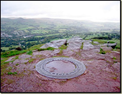
 View from the summit of Eccles Pike, towards Kinder Scout
It's a landmark day - the 5th anniversary of my giving up full time work. Tradition dictates a (ever shortening) walk.
It's also the first birthday of this blog, but more of that some other time. Here's my first entry, posted a year ago, when Darren was to be my first reader.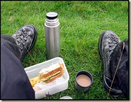
Today, setting off from the Navigation Inn at Buxworth at 12.30 meant that my lunch kit was soon on display. Together with 'winter' boots triggered by showery weather.
This view across to Chinley Churn was fine and bright though, and the sun even made a brief appearance.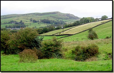
 Soon I was in yet another Estate owned by the National Trust.
A short, steep climb brought me to the red-rock summit of Eccles Pike, some 360 metres above sea level, with views stretching from Kinder to the north (see above), west down the lower Goyt valley, south across Coombs Moss, and east towards the limestone hills of the White Peak. There's an intricate orientation point, from which this image is a small detail.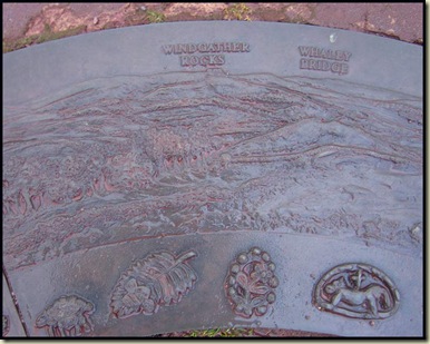 Whilst the paths were quite boggy and I was glad of the waterproof boots, the signs were very posh. The path signed below heads across the field in the direction indicated by the arrow. Coombs Reservoir is in the distance. The lush green grass showed little sign of having been trampled. I saw just a few casual dog walkers today.
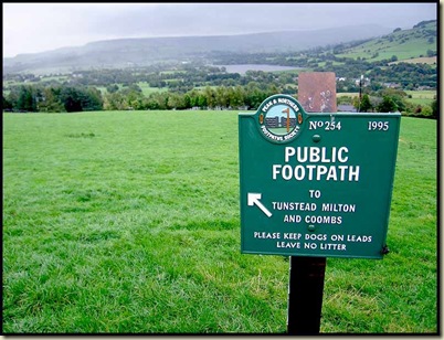 "Do Not Stray From The Path" or some such utterance, was the sign that greeted me on this section of the walk at Tunstead Milton!
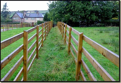 The fence soon disappeared and the path led through Himalayan Balsam, and a marsh, up to Coombs Reservoir, which appeared to be full. A fleet of sailing boats lingered, inactive, on the far shore whilst ducks quacked in the foreground.
After Tunstead Farm an indistinct path led to a boggy hollow before descending pleasantly through fields to join the old Cromford and High Peak Railway. A memorial plaque commemorates the railway's incorporation in 1825.
This fine bridge precedes a suburban section where the old railway line passed very close to workers' accommodation.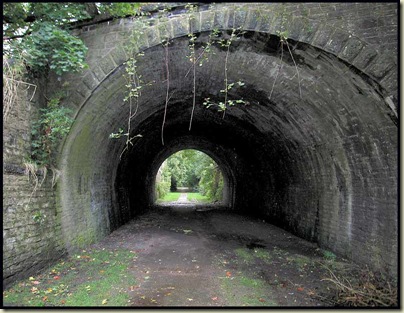 A section of road through Whaley Bridge led me to the much renovated Peak Forest Canal and an easy walk back to the start, just avoiding a deluge.
Here's the 10 km route, with 350 metres of ascent, which took me nearly 3 hours at a very leisurely pace, including my lunch stop.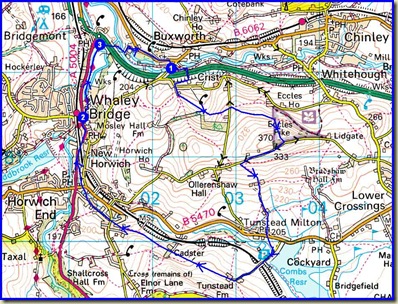
On display today were Ragwort, thistles, bright yellow gorse, tormentil and even harebells. Carrion crows outnumbered the jays and magpies, whilst various birds of prey kept a greater distance and blackbirds and grey squirrels scurried in the undergrowth.

2 comments:
Happy birthday! No need to work anymore and I bet the kid(s) are out, too?! No wonder that you can spend that much time walking.
Keep on walking and I'm looking forward to next years SBR (Spanish Border Route incorporating parts of the GR10 and GR 11) trip.. :-)
All the best from an envious
Roman
Hi Roman
Yes, I'm very lucky to still be fit for the hills after nearly 35 years in an office! And the kids are fairly independent, as you surmise. And Sue keeps going with her old Karrimor Jaguar, with its ancient contents as ballast so that I can keep up!
Actually, we do hope to re-live the 'SBR' [aka HRP] route by way of a separate blog. (I'd love to do it again though.)
You may notice a 'practice' blog of a one week trip in the next few weeks.
Next year the longest trip will be 3 weeks, and we hope to continue the Italian Border Route (IBR), starting at Saas Grund, for two weeks in September. It really was a fabulous route that continues into more wonderful territory.
For now, I think the 'year of constant summer' has now expired, so wet weather gear may finally be tested over the next few days!
Have fun yourself - I'm envious of you being so much closer to the snow than we are here.
BUT, it goes without saying, 'we have a plan!'
Bye for now
Martin
Post a Comment