Sue and Martin in Mallorca 2019

Sue and Martin in Mallorca 2019
On the Archduke's Path in Mallorca
Showing posts with label West Cheshire. Show all posts

Saturday, 21 December 2024

Thursday 19 December 2024 - A Walk from Beeston Castle


An hour's drive took me and Sue to the Beeston Castle car park at SJ 540 590. (£3)

From here, the Sandstone Trail heads south through the narrow ginnel shown above, before crossing a road and reaching open fields with a view ahead to Peckforton Castle, now a hotel.


The view back to Beeston Castle

Looking back, the ruins of Beeston Castle, which dates from 1220 - a military stronghold with a turbulent history - hog the skyline.


The field path, today near a team of shooters after grouse, leads to a kissing gate and a bridge over a stream (below), then an ascent to another field path that veers to the right at another kissing gate and emerges shortly afterwards at Horsley Lane.


A right turn at Horsley Lane leads us to The Moathouse complex, the last building of which is an Elizabethan farmhouse with a massive brick chimney. Beeston Castle towers above the roofline.


After passing Ivy Cottage the Sandstone Trail takes a left turn along a track in Peckforton Woods, where after a kilometre a path junction is reached where eggs are for sale. A cheeky grey squirrel was unable to come up with any cash, and ran off when we intervened.

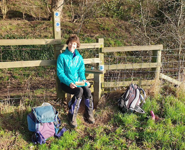
At this point we enjoyed elevenses before Sue continued along the prescribed route - Walk number 12 in Jen Darling's 'Walks in West Cheshire and Wirral' - and I left the Sandstone Trail and followed a waymarked path to the east.


The path was a good one, recently cleared of leaves, with notices threatening repercussions from any deviant behaviour! I stuck to the good path, and I didn't see or hear any 4WD 'Land Rover Experience' activity in the Peckforton Estate's private land.


Meanwhile, Sue continued along the Sandstone Trail for a little way before leaving it by turning left along Hill Lane and then passing under the Haunted Bridge, built in the 1850s to take carriages from Peckforton Castle to the gatehouse. A ghostly servant woman is said to walk from the ruins of a stone hut along the sandy track and up the bank, her severed head under her arm. Folklore dictates that if you see her you will die within a year.


Oyster mushrooms on Sue's route

Approaching the gatehouse/lodge near Peckforton Castle, this strange locked building stands alone.


Nearby, the gatehouse provided welcome shelter from a sharp shower. The road to the castle was surprisingly busy.


You can see where I was sheltering. This is where Sue's route rejoined mine, but she didn't catch up until nearly back at the car park.


Field and woodland paths led back to metalled surfaces beyond Willis's Wood and a long field.


There were more good views up to Beeston Castle, as we passed some picturesque cottages and a converted chapel on the way back to the car park, which is opposite the entrance to the castle..


Here are our routes. Sue mainly followed Jen's route, shown in magenta (she took the same route as me after the Lodge), and my route is shown in blue. 7km and 5.5km respectively, with around 150 metres ascent. Both routes took about 2 hours. I was moving hesitantly due to a poorly knee.

Thursday, 3 February 2022

2 February 2022 - Around Tarporley


Here are a few pictures taken on a cloudy day. I walked Jen Darling's 'Tarporley' route in her 'West Cheshire' book for the purpose of bringing the route description up to date for her.

I parked behind the Rising Sun and wandered down the High Street as far as the Baptist chapel, pictured above.

Next to St Helen's church, the manor house, built sideways to the road, dates from 1586 and is said to be the smallest manor house in the country.


The route took me down a path beside St Helen's church.


Soon the Sandstone Trail was joined, with good views towards Beeston Castle. (And a narrow muddy path confined by an electric fence.)
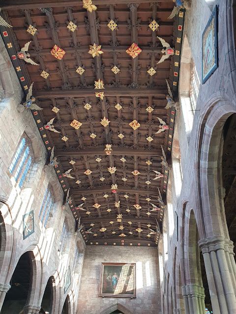

A muddy descent led to Wharton's Lock, an excellent spot for elevenses.


The firm surface of the towpath was short lived, as I left it at the next bridge - Bate's Mill Bridge - where I turned off past the Shady Oak pub.


Soon I was back on the Sandstone Trail. Not much sandstone in evidence, but lots of glutinous mud!


After numerous fields of mud, a signpost to Tarporley that led me around the less muddy perimeter of a huge field, to paths that dumped me straight into the car park I'd chosen.


Looking back towards Beeston Castle over a sea of Sandstone Trail mud

Here's the 10 km route. It took me a muddy three hours, but I did make one or two wrong turns, and 'editing' took a bit of time. All good fun!

Wednesday, 5 January 2022

Monday 3 January 2022 - Around Malpas


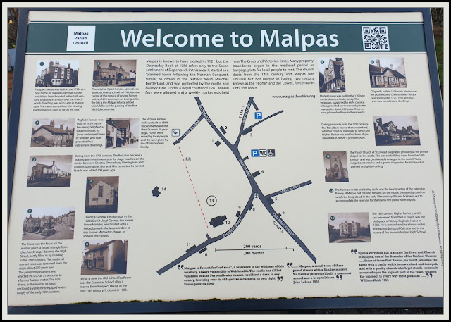
Sue and I popped down to Malpas to check out a route for Jen - from her 'West Cheshire and Wirral' book. We parked in the Malpas Training Ground car park that we found before the car park in the centre recommended by Jen. The Post Office was easy enough to locate, and we started from there after perusing the information board pictured above. Click on the image for a readable version and slideshow access.

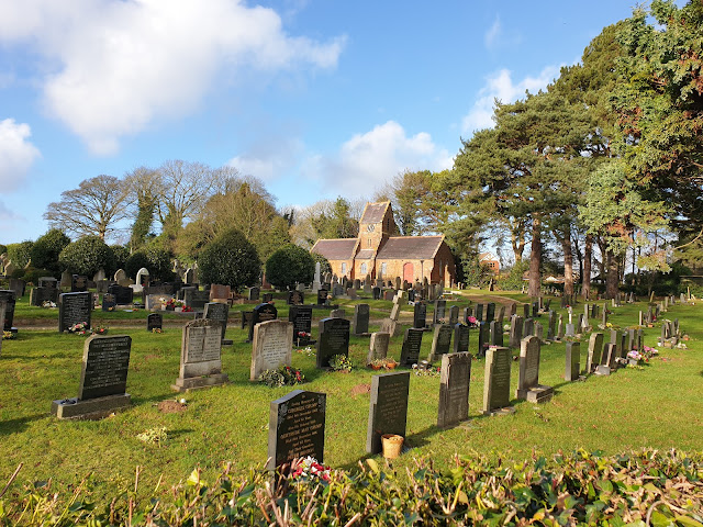
We were soon heading out of the village, past a new housing estate where 42 properties are being squeezed in, then past the cemetery.


This is deep Cheshire's farming country. We were soon on a byway next to a field of stubble.


The byway (on which vehicles are allowed, in contrast to a bridleway) continued to the end of the long field pictured below, before a left turn along an enclosed footpath, eventually emerging onto Tilston Road.


There were curious cows in the barn pictured above and below.


The low sun cast long shadows on this fine day.


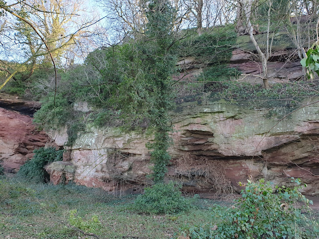
The path alongside Overton Scar sported fine views towards the Welsh hills. On a fine day, the Berwyns are visible from here.


At the end of the scar we reached a track next to some caves that have been scoured out of the sandstone cliffs.


A footpath sign and a stile indicated that we were on both the Bishop Bennet Way, a 55 km route from Beeston to Wirswall, and the Marches' Way, a 351 km route from Chester, through the Welsh Marches, to Cardiff.


After lunch at the stile, we passed Overton Hall, where this specimen of hogweed was happily in flower.


We encountered just one person away from the village - a runner who crept into the first of two 'signpost snaps'.


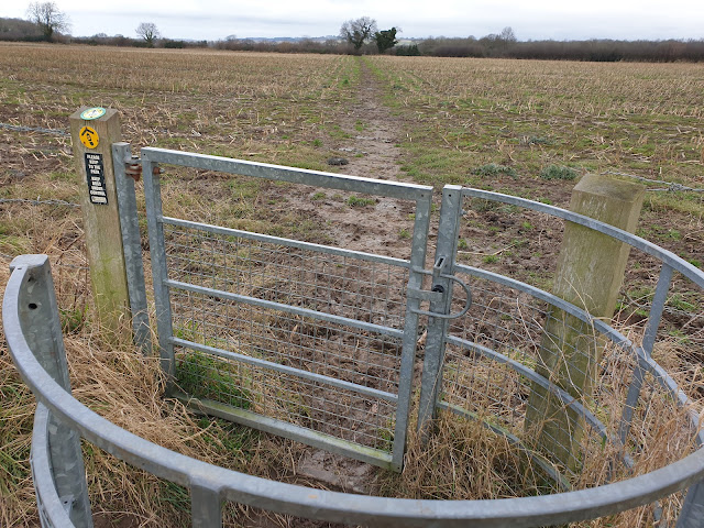
Metal kissing gates led us across fields towards the village of Malpas.


We entered a final field, where a large sycamore tree is at the end of a row of twelve such trees, symbolising the twelve apostles. When one dies the local people ensure that it's replaced.


Before taking the next picture from the other end of the row of trees, we chatted for a while with a retired geologist who waxed lyrical about the village and its splendid views across to mid Wales and the Shropshire volcanoes.


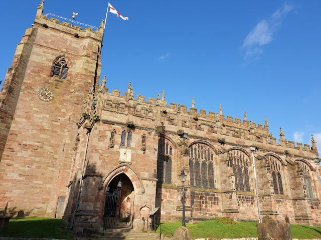
A wrecked wooden kissing gate led to St Oswald's church - an impressive place for a small village. It dates from the 14th century.


Next to the church, Market House is fronted by a colonnade of eight Tuscan pillars. This building dates from 1762, when the Drake family built it as a shop with living quarters above.


The market cross, apart from the medieval sandstone steps, is a relatively recent replacement, erected as a memorial to the rector from 1840 to 1873.


The village is littered with pretty old buildings. We passed some of them on our way back to the car park.


Here's our route - 8.5km with about 140 metres ascent. It took us a little over two hours.


That's it. Very few 'edits' to Jen's description are required.