Sue and Martin in Mallorca 2019

Sue and Martin in Mallorca 2019
On the Archduke's Path in Mallorca
Showing posts with label Bowland. Show all posts

Monday, 13 June 2022

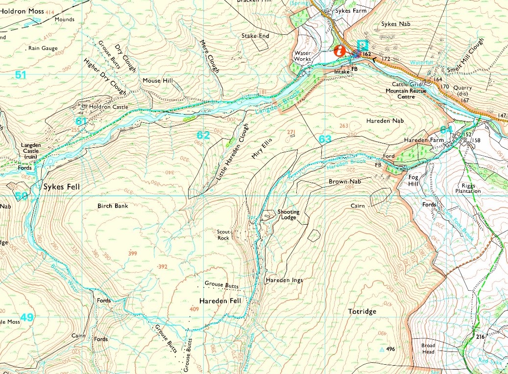
Wednesday 8 June 2022 - Cicerone Lancashire Walk 6: Langden and Hareden Valleys


This three hour walk starts from the large lay-by at Langden, in the Trough of Bowland beyond Dunsop Bridge. It starts up a lovely avenue of trees beside a tarmac track to some Water Works buildings by the Langden Intake. A cuckoo was in fine voice, and grey wagtails tracked my progress.

Beyond the buildings, a sort of welcome to the 'open access' but highly restricted 'Forest of Bowland', where raptors are still persecuted by grouse murderers.


United Utilities have a second information board regarding Langden Intake.
 

There had been some heavy overnight rain, and as I walked along the track beside Langden Brook I was pleased to be wearing boots rather than the usual trail shoes today, as there were rivers to ford, and those rivers were in spate.


Never mind the rivers... the footpath was in spate!


I soon passed a memorial to the victims of three separate nearby air crashes involving the RAF, the Polish Air Force and the Royal Canadian Air Force.


The path rose above the valley for a while, and before dropping down to the confluence of Langden Brook and Bleadale Water it offered a view down to Langden Castle (right), Langden Brook (centre) and Bleadale Water (left). Curlews, oyster catchers and lapwings all made their presence known.


I stood in the marsh to take a picture of Langden Castle, which is simply a barn with two ornate windows and an arched doorway!


The view up the valley towards the heights of Greave Clough Head was nice enough, but my concern was one of 'how to cross the river without getting wet feet?' (and without taking my boots off).


Well, my long jumping skills triumphed, and I could look back across the river to the castle.

A mallard - very shy compared with our local towpath birds who come to us for food - tried to distract me from her young by adopting a 'broken wing' pose, and wheatears chirped from any post they could find on which to monitor my progress.


But now I was trapped, as I couldn't easily get back the way I'd come, and Bleadale Water, which I needed to cross, was more in spate than was Langden Brook. In the end I splashed my way across at the point shown below, and despite the water being knee deep my overtrousers, gaiters and boots combined to repel any thought of water ingress!


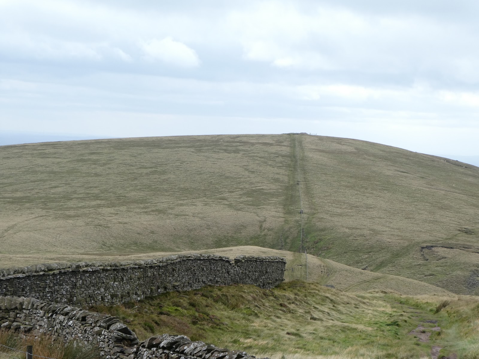
The path then rose gently up the Bleadale valley to the plateau of Hareden Fell.

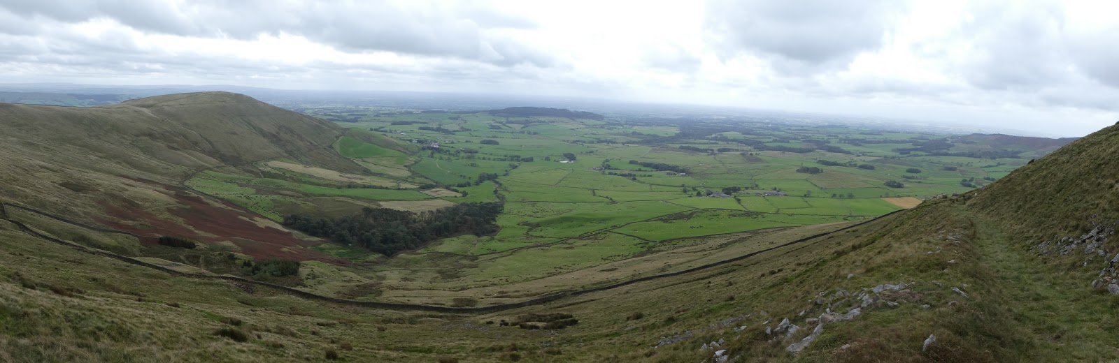
A suitable spot for elevenses offered this view back down the valley.


The path came to an end at a white post, after which a plod just south of east, past peat hags, led past a couple of small tooth like rocks to the top of Hareden Fell and some grouse butts, to the left of which it was easy to locate the 'shooters' track' on which the grouse murderers are transported when the time comes for those crusaders to attack. Today there was nobody around until I met a sole walker near Hareden Intake.

It was a 3 km walk down the track to a footbridge, with Whin Fell and other heights of the Forest of Bowland in view beyond a red roofed shooters' shack.


I was glad of the footbridge! Hareden Intake is visible in the distance.


Beyond the intake, my path passed through a farm where sheep were looking for a paddle and the Jubilee bunting was still fluttering in the breeze.


A left turn beyond the farm saw me on a pleasant riverside footpath back to the car parking area at Langden. The small white blooms of heath bedstraw, together with tormentil and thistles, lined the path.


An Airstream caravan took pride of place in the lay-by, here pictured from a distance before I made my way over conveniently placed footbridges to a sheltered spot for an early lunch before adjourning to Bacup, and dog walking with Oscar.


If you click on the next image you can view both Mark Sutcliffe's route and my route in anticlockwise pale blue lines, and if you look carefully you can see that I followed Mark's route pretty accurately on this occasion. My Garmin gadget recorded 11 km, with 300 metres ascent, taking (as Mark suggests) about three hours. A classic walk - a great way to spend a mizzley morning in deepest Lancashire.

Sunday, 13 September 2020

Friday 11 September 2020 - Parlick and Fair Snape Fell

 
Today's venue was chosen as 'new ground'. I'd not been there before, and nor had my companion for the day, Paul S.
 
Our satnavs succeeded in delivering us to our rendezvous point at Beacon Fell Country Park, where car parking was free (the pay and display machines were not in use) and the toilets were open. It was very quiet. We saw just a handful of folk all day, whereas on the previous day's ride around 'the wheel' we saw loads of people.
 
After perusing the information board, we strolled up to the snake sculpture pictured above.
 
 
A short stroll took us to the deserted 266 metre summit of Beacon Fell. Paul leant against the trig point, with Parlick and Fair Snape Fell just poking out above the trees behind him.
 
 
A well paved path leads eastwards to gain a variety of field paths that head inexorably towards Parlick.


Thankfully the little used paths past Broadhead, Wood Acre, Watery Gate, Lower Core and Blindhurst weren't too boggy, and we soon ascended some steep zigzags past kestrels and buzzards to the 432 metre summit of Parlick. Pendle Hill in the distance was trying to pretend to be a cloud, and in the other direction was the wind assisted trudge up Fair Snape Fell.


The wind break was just about sufficient for us to enjoy a tea/coffee and cake break, though windproof tops were donned and our peaked caps were replaced by winter hats.
 
 
After descending to Blindhurst Fell, where we didn't spot 'Nick's Chair' [BC?], we sought protection from the wind by way of a high wall. Here's the view back to Parlick.
 
 
Parlick is also featured in the next picture, of me on the (not the) top of Fair Snape Fell (510 metres).
 
 
It was pretty windy, so we wandered around the summit for a while but saved our lunch for later. An elderly lady was there.
 
This was the only point on the walk that I found myself at a place that I'd been to before - in March 2015, from a completely different direction. And I note from that report that we didn't actually reach the true summit of Fair Snape Fell on this current occasion, the trig point and cairns being a few hundred metres from the true 520 metre summit.


We soon found a zigzag path on which to descend to Higher Fair Snape, from which there was a good panoramic view to the west, with Beacon Fell to the right of Parlick in the next picture. Blackpool Tower was just discernible on the western horizon from here and from the higher points of the day's walk.
 
 
This area is not suitable for those who are unable to negotiate high ladder stiles. The metal kissing gates of Cheshire have not yet been exported to these parts.
 
 
We soon enjoyed our lunches on a grassy bank, before finally reaching Higher Fair Snape, where the fence decorated with unfortunate moles probably gives an indication of the local attitude towards the Hen Harriers that try to live peacefully nearby. [BC may comment.]
 
 
Looking back up to the fell, we were puzzled by this area of apparently dead grass. Why?
 
 
Few people, it seems, walk these paths in view of Parlick. Even fewer care to maintain the footpath signposts.
 
 
Easy paths and tracks led us to the hamlet of Bleasdale, and an impressive church for such a small place.
 
 
We passed a signpost to Bleasdale Circle - accessed by a permissive path. We should have taken it. A little further on we came across this information plaque. According to this, 'Permission to visit the Circle may be obtained from the headteacher of Bleasdale School', which appeared to be closed.
 
 
The circle that we failed to visit is a prehistoric timber circle dating from the Bronze Age (1700 to 500 BC). It may denote a religious centre, and it was only discovered in 1898.
 
There's a leaflet here, and BC, who commented on my previous posting, has written about it here, back in March, just before Lockdown. He confirms that the school has been closed for a while.
 
I was looking forward to the next section of our walk, beside the infant River Brock, a tributary of the River Wyre. Starting near Weaver's Farm, a good path led us to a footbridge between Bob's Wood and Gill Barn Wood. Two ladies and their dogs were chatting in the meadow. Can you spot them below?
 
 
Waddecar Scout Activity Centre was soon reached. It's facilities extend over quite a wide area, and the public are requested to stay on the paths. There's a good view back to Parlick and Fair Snape Fell.
 
 
At the end of the scouting paraphernalia the path passes through an area named on the map as 'Boggy Wood'. It was certainly well named.
 
 
At one point an arrow pointed us to the left, through apparently deep bog. A narrow path led ahead beside the river. We followed that. After a while the path took a turn - across the river on submerged and intermittent stepping stones. Do we go back, enjoy a thigh deep wade, or take a diversion through forest? A track wasn't far away, so we took the 'jungle' option.
 
Paul was elated after a rather slithery ascent, the pictures of which are in my library...
 
 
Later, an unmarked right turn ensured our pleasant riverside stroll all the way to Higher Brock Bridge. Dippers and a cormorant were in evidence here. Apart from this short section (during which we passed a strange residence with cars outside the house and a very well blocked entrance gate), on which the path could easily have been missed, today's footpaths were all well marked.
 
 
After this, we took pleasant paths past Lower Lickhurst and Middle Lickhurst, then zigzagging to avoid roads, and a final steep ascent back up to the closed visitor centre.


Here are two pictures of the route - the first at 1:50,000 scale, the second at 1:25,000. I couldn't decide which would be best. Click on these or on any other image, for a better version and access to a slideshow.
 
We took about 6 hours over the 21 km route, which included over 600 metres ascent.


An excellent day out. Thanks for your company, Paul.

Sunday, 12 April 2020

Tuesday 28 January 2003 - Eddisons Ramble to the Trough of Bowland

 
This was a bit of a one-off - here's my diary entry made at the time:
 
An hour and 45 minutes took me to The Inn at Whitewell by 9.15 am, for bacon butties and tea, before about a dozen of us set off on this (first ever for me) corporate entertainment (or 'corporately corrupt' as my mate Dave would describe it) walk, organised by Eddisons, property and plant valuation agents, for a few of their clients.
 
The weather wasn't brilliant, varying from sunny, breezy, sleety, rainy, etc, but the four mile stroll from Newton, via Hodder Bank Fell and Burholme was pleasant enough despite some deepish bogs.
 
I failed to remember the names of everyone present, but it was organised by Ben Lynch, and Alan Howarth, Catherine, Gavin, and Richard were definitely there.
 
We enjoyed an excellent lunch at The Inn at Whitewell, and made a leisurely departure for home at 3.30, just missing the rush hour.
 
The four mile walk could have been longer, but this is the sort of corporate entertainment for me!
 
I took several photos with the crappy Olympus camera, all of which are reproduced here. I particularly like the sunlit field.


I'm sure that some of the participants must still be around, but a cursory search revealed that whilst this unusual form of marketing did no harm at all to Eddisons, which appears to be flourishing on a nationwide basis, I can't seem to track down anyone pictured above.
 
However, there is a name I recognise amongst Eddisons current impressive list of  'people'. I wonder whether Stephen, who works out of their Stockport office, and who was working for a competitor back in 2003, will remember me, or indeed any of the individuals pictured above?
 
Curiously, if it was raining today, and I was allowed out for a walk (I've already had my permitted exercise - a bike ride), I would be dressed in exactly the same clothes as I was on this day in 2003. Different shoes though!