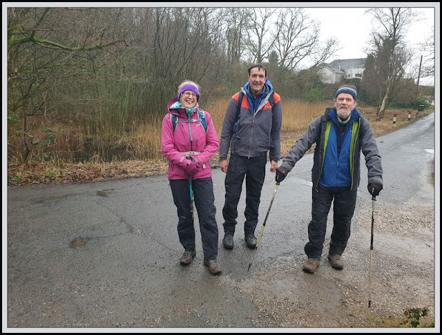
I had the pleasure of the company of Carol, Keith and John (aka BC) for this stroll on an overcast, slightly drizzly day. I'd done this walk before (see links at the foot of this posting), but not for a while.
We met at Leighton Moss RSPB, where Keith and Carol (not members) were treated with disdain and told to leave the car park. Martin and John (both members) to the rescue - "they are with us".
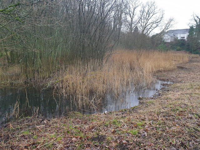
A short walk past Silverdale station brought us to the small pond formed by our first well of the day, Bank's Well.
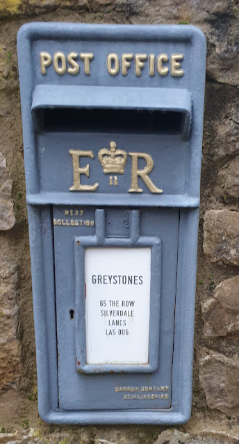
The house opposite has a quaint letterbox.
Dogslack Well was our next objective, along a path with an unknown destination (the pamphlet says 'retrace' but I think we should have continued along the path). Anyway, the pump has lost its handle since we were last there.
Retracing our steps to The Row, we continued to a good parking spot (especially for RSPB non members), then a path across a traffic lighted railway crossing (that's new) to Waterslack and around Middlebarrow Quarry to Arnside Tower.
John and Keith plod their way up to the remains of the tower
Through a mobile home site and then pleasant woodland, to Elmslack, and our third well. Elmslack Well is situated under a litter bin that was carefully removed by those wanting pictures of all seven of today's wells.
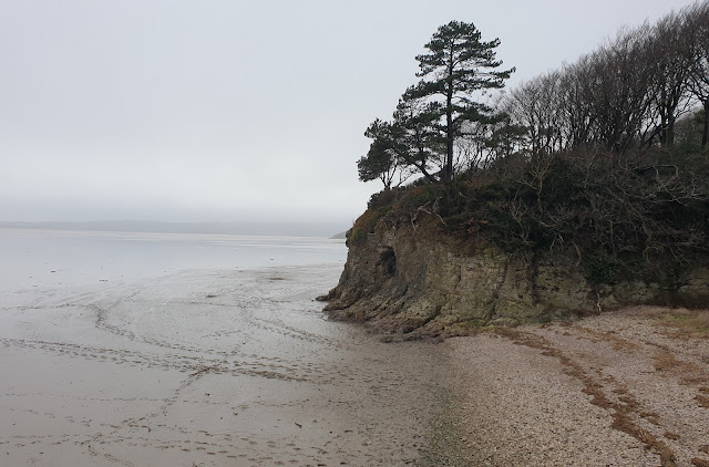
Next, we wandered down to the cove, in search of Cove Well. The next picture confirms that there is now little (no) trace of the old well. Here the well would comprise a spring arising from the main water table, whilst most of the other wells on this walk are in essence springs rising from perched water tables. It's all to do with the differing permeability of the layers of rock.
Here's the view to Grange over Sands. (Honestly.)
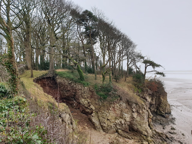
I tried walking along the beach - the tide was out, but the beach surface comprised glutinous mud, so we changed tack and went past the blown woodland pictured below, then through the fields known as The Lots, to Silverdale village.
Bard's Well, pictured below, is on the beach beside the car park. Clothes used to be washed here. The well (spring) doesn't flow in dry weather. The weather is dry(ish).
The walk back up to Silverdale village took us to a path to Wood Well, where a special tree provides a habitat for hawfinches (we didn't spot any). Water drips from the roof of the small recess in the base of the cliff - clearly shown in this picture.
The water is collected in the small trough shown below (it's empty due to the dry weather). Then it flows into the large basin visible in both pictures. This was used in the past for watering cattle.
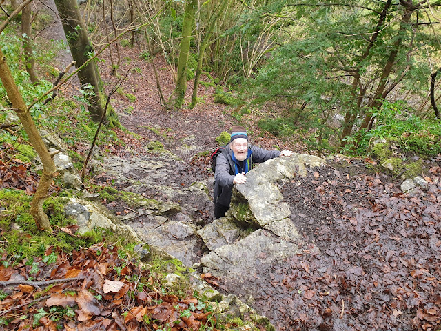
With Wood Well at our backs, we surveyed the next section of path.
I'd included this path on our route in order to try to please John (BC - 'Bowland Climber). He is sadly not at the peak of climbing fitness, but we did all make it up safely.
Our route then progressed through Silverdale Green and along a signposted path to Burton Well, which was just as green as it had been when Sue and I visited it in December.
Burton Well supplied water to the local residents for many years, until they fitted gutters and downpipes to their homes and collected rainwater, stored in basement tanks.
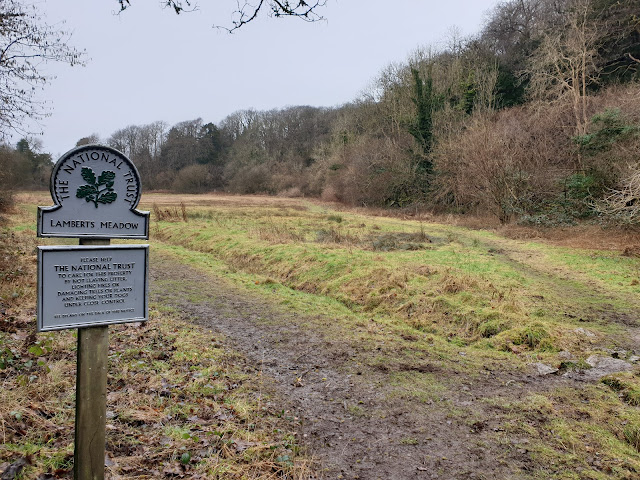
Beyond this last (seventh) well of this visit, lies the rather damp expanse of Lambert's Meadow, a haven for wildlife and home to orchids. Our path, on the right, took us back towards Bank Well and the start of our walk.
Earlier reports on similar excursions are
here (21/11/08) and
here (20/2/13).
Here's today's route - about 11km with 200 metres ascent. It took us nearly three and a half hours.
Then I enjoyed lunch in the RSPB cafe with Keith and Carol, before paying Conrad a visit in Arnside, whilst BC visited another friend who lives nearby.
A very pleasurable morning stroll... - BC's excellent commentary is
here.
Next Week - Friday 17 February:
Bollington - a 10km circuit via White Nancy and the Saddle of Kerridge. Meet at Adlington Road car park in Bollington (SJ 930 780) at 10am


