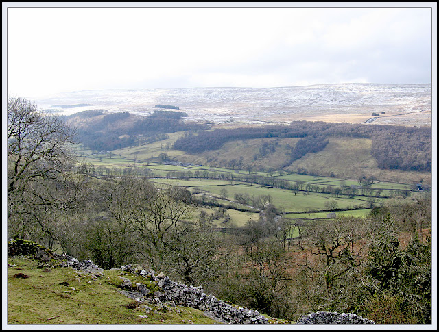
Saturday morning view from Cray
A 'Famous Five' Weekend at the White Lion Inn, Cray
Saturday 25
February 2006
Andrew, Richard,
Jenny, Sue and I had reached the venue without incident on Friday night, and
Debbie confirmed we were actually booked in this time.*
Neil and Liz
Piper, Andrew's friends, joined us at 9:30 for a 'walk of two halves'.
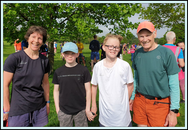
Ready to roll - Sue, Liz, Richard, Neil, Jenny and Andrew
This route was a change of plan driven by Andrew's poor recovery from a cold and his desire for an easy day. So the first half was mainly downhill. Near Hubberholme, Richard spotted a kingfisher sitting by the river. We watched for some time. There were also dippers and mallards. Sunny periods, but a sharp northeast breeze, so three layers including Rab fleece were handy.
Yockenthwaite
Hubberholme
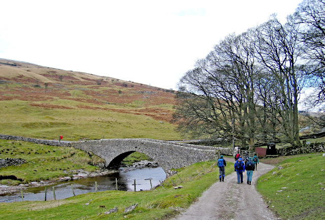
 Heading on from Hubberholme towards Starbotton
We had started our meander at 9:45, and we stopped for lunch at 12:30 to 1pm by the Wharfe beyond Buckden. Then from 1:30 to 2:15 we loitered in the pub at Starbotton. We could have sat outside in the sun when we arrived, but soon a light mizzle pervaded the air, and from our cosy position before the fire we could see our boots, left outside, slowly moistening.
Andrew and Liz decided to walk back up the road. The rest of us, perhaps foolishly, decided to go via Buckden Pike. Neil, a local living in Thoralby, led the way when Richard became uncertain in the driving sleet.
The strong wind blasted us and again I was reminded that my yellow craghopper waterproof with its flimsy hood that blows back in wind really needs replacing. It was a relief to bear left by the wall up to the summit, and even more so to reach the summit after a real slog through the snow, ice and mush of the deeper marshes.
From here we quickly descended to Cray, via some slippery icy sections, to reach the pub at 5:15, so whilst Naismith would have taken five and a quarter hours, we walked for six and a quarter.
 Our route - 21km, 680 metres ascent
Neil and Liz went home to change; the rest of us adjourned for showers etc, before reconvening for more champagne and dips etc - last night these had been in Andrew's room - to celebrate Sue's 39th birthday.
More progress at eating the birthday cake provided by Andrew was also made, then a convivial evening with good food and company.
Sunday 26
February 2006
A sunny morning outside the White Lion
For Sue and my joint birthday walk from Grassington we were the Famous Five plus Don, Liz and Gary (expected) and also Mike Pope and his brother-in-law Roy - making a very surprise appearance!
The weather was good again, with sunny periods, as we ambled north up the Dales Way before turning to reach Kelber.
There were only a few people around. This was my route and it didn't help when I left the map behind after a pee stop. After recovering it, we progressed easily to a lunch stop at Yarnbury.
 Elevenses?
This is near home for Roy, who (like Neil yesterday) knows the area well. Andrew was tired so returned to Grassington by road, whilst the rest of us carried on via Mossy Moor Ridge and Edge Top, around Hebden, then back pleasantly to Grassington beside the Wharfe. We got briefly misplaced at Ratlock Hill and
Roy's GPS came in handy.
We passed a cow that was sporting a fine set of false teeth!?
Kayakers were playing by the bridge in Grassington.
A nice tea shop was found after some of the party had dispersed.
Note - there is free parking at Hebden. Set off 10:15, half-hour lunch, 3:45 finish, so 5 hours walking (Naismith four and a half).
Our route - 19km, 400 metres ascent
*Unlike our previous visit, when the organiser had forgotten to book our room!
Footnote: This entry has been extracted from a 2006 diary to accompany the images which have not been looked at until now! The route details are from memory - not necessarily correct!
Second Footnote: Here's an extract from Conrad's 2016 posting (see comments):
Well today I parked up at Buckden on a thirty-car sized car park that didn't exist in 1960 and paid £4.50 for the privilege. My mission was to walk a previously un-walked section of the Dales Way. To make this more worthwhile I climbed up onto the high ridge on the western side of the dale and followed, mostly on faint but decent paths, passing Birks Tarn teeming with gulls and other water birds, to the trig point at Horse Head and beyond. There was a great top-of-the-world feeling up there. I descended to Beckermonds and connected to the Dales Way following the Upper Wharfe downstream, through sheer delight back to Buckden.
I saw nobody until I was on the Dales Way path, then casual walkers were abundant, and cars were parked on the road across the river with families picnicking and playing in the tempting pools of the Upper Wharfe. Strangely the dale is called Langstrothdale. Back in Buckden the place was busy with many walkers and visitors and the car park which was empty at 9:00 am was full. I called into the tearooms (back in the 60s there was just a village shop). The proprietor has been in the village for many years and we reminisced about the characters we had both known. Jacky Beresford was a local always found in the Buck Inn; we used to buy him a pint and get him going with stories of giant trout caught in the river. Jacky operated a school-run business using an old hearse. Then there was Major Horner, notorious, bad tempered landlord of the White Lion at Cray, a mile or so up the road. He once attacked some customers who had caused him some annoyance with a claw hammer. I have tried to research that story which was well publicised at the time, but with no result, but I did find this extract from a nostalgia article in the Craven Herald:
The White Lion was also in the news as its landlord and eight local farm workers were caught drinking when police walked in at 11.30pm. With licensing hours a hot topic today, it is interesting to note that in 1955 last orders was at 10pm with the premises to be vacated 10 minutes later. Major Horner, the landlord, was fined £3 and three of the drinkers fined £1.


