Sue and Martin in Mallorca 2019

Sue and Martin in Mallorca 2019
On the Archduke's Path in Mallorca

Monday 13 November 2023

Monday 13 November 2023 - Coed Felinrhyd


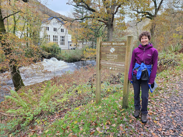
Fine weather having returned, we drove 7 miles to a lay-by near the Power Station at Maentwrog. Our objective was a short 4km walk, sheltered by the ancient woods of Coed Felinrhyd on a blustery day. Walk number 27 in Alex Kendall's Snowdonia North guide. 

First we admired the bulging river (above) as we crossed a bridge to join our path. Its level had dropped by some 18 inches by the time we returned a couple of hours later.

The Power Station looks more like a stately home!


A short way up our path, the Ivy Bridge seems obscured by a curtain of vines.


'Mushroom of the Day' remains unidentified. Sue will probably check it for tastiness later...


The good path rose relentlessly to a viewpoint above a waterfall. Not much of the waterfall is actually visible, or so it would seem.


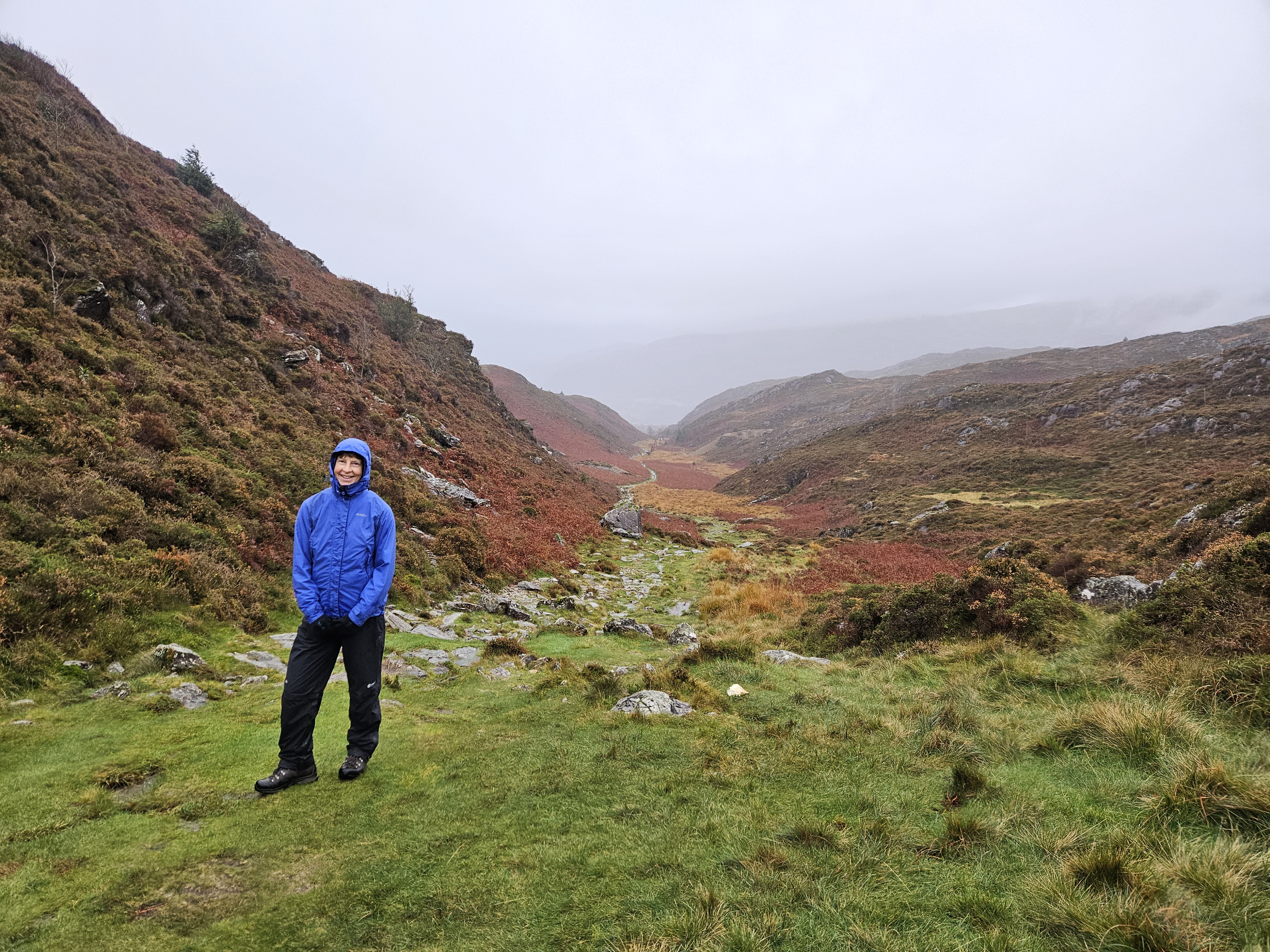
Here, our route turned uphill, high above the river. After more ascent we joined a lovely grassy path that took us all the way to Cae'n-y-Coed.


We passed a ruin. Who lived here, and what was a typical scene at that time?


Cae'n-y-Coed is maybe a holiday home.


Alex's route goes right here, dark blue on the map shown below, returning downhill to the Power Station in one kilometre. 

My ankle seemed to have recovered from its boot rub, so we took a longer (4km) option on paths that were new to us. The route is shown below. It proved to be an excellent choice. We rose to a high point just below a rocky knoll.


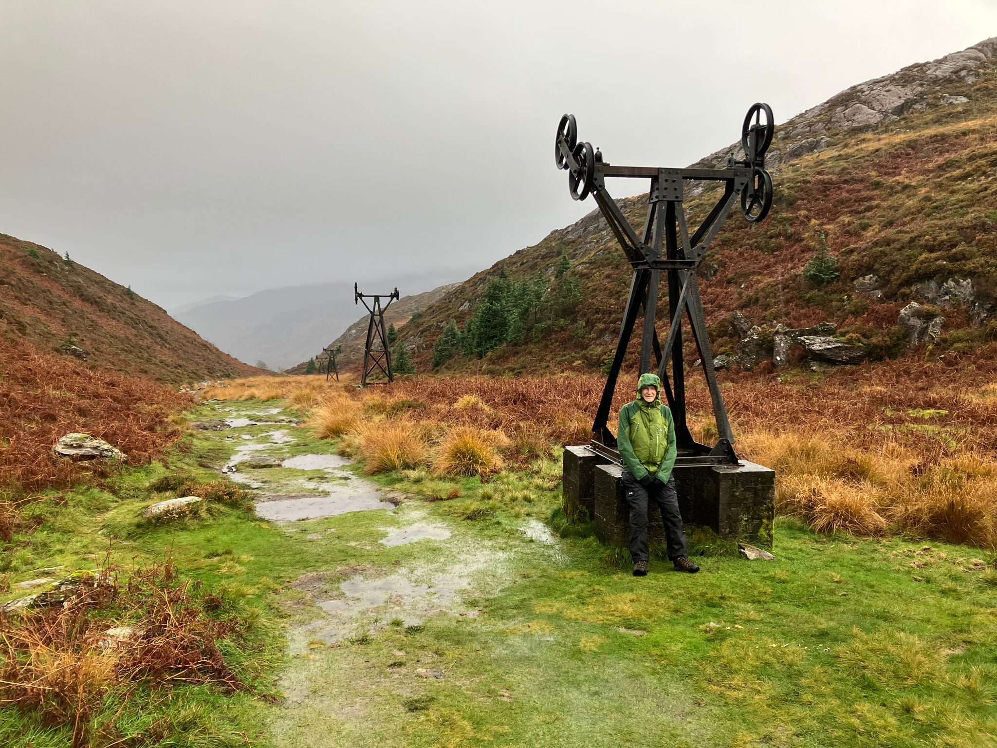
Turning to the north west, we passed the eastern end of a reservoir, Llyn Tecwyn Uchaf, with views out to the sea beyond Portmeirion. 


A good track led to a steep slippery footpath on which to finish this excellent 7km outing.


Here's our route - 7km, 250 metres ascent, taking 2 hours.


That's it for now. We returned home via the Portmeirion café/shop in Porthmadog and we are now enjoying a lazy afternoon watching Egrets and other birds in the harbour, before packing up and heading home tomorrow via a visit to Great Grandma Dot.

Sunday 12 November 2023

Sunday 12 November 2023 - A Wet Walk Around Beddgelert


Despite a lie in, we couldn't beat the rain. Dave sent a message saying he didn't want to walk in rain, so he was heading home. I continued with my 'copy editing' for Reg, and Sue continued reading the draft of Reg's book before making lunch. Outside, an oyster catcher scrabbled for food in the tidal seaweed.

We then drove in pouring rain to a pull-in by a bridge over the Afon Glaslyn. We decided on the 9km version of walk number 22 in Alex Kendall's Snowdonia North guide. Here's the view from the bridge. 


Beddgelert sports a fine row of cottages that brighten any day. They were definitely needed today.


Despite a few puddles, feet stayed dry as we walked up to the Copper Mine. 


Reaching Llyn Dinas, photos of a murky view...


A sharp right turn then took us up a steep stone staircase with good views back down to Llyn Dinas. 


After reaching flatter ground we could look ahead to the gentler gradient of our path up to the day's high point.


From the high point we now looked down to our gentle descent into Cwm Bychan. 


By now my feet were wet, thanks to wearing trail shoes due to my boots giving an ankle rub. It was raining hard and my camera isn't waterproof, so the rest of the pictures are thanks to Sue, and may also be seen on her Facebook page. 

We passed the remains of some mining infrastructure as we slithered down Cwm Bychan. 


Lots of black bags full of rocks gave away the fact that this is a popular path requiring drastic improvements. 


Anyway, we sloshed our way down and eventually reached the Pass of Aberglaslyn, where we rejoined Alex's longer route.

The river was in spate.


On reaching the bridge, and our exit to the roadside pull-in, we found that the gateway from which we had started our walk had now assumed the proportions of a minor flood.


So, after that it was back to a nice warm house after a thoroughly wet walk. Here's the route - about 9km, with 300 metres ascent, in less than 3 hours.