Sue and Martin in Mallorca 2019

Sue and Martin in Mallorca 2019
On the Archduke's Path in Mallorca

Saturday 28 August 2021

Saturday 28 August 2021 - Around Llanberis and Llyn Padarn

On another blue sky day, Sue and I were joined by Richard and Jenny, who had arrived last night, for a 14 km walk around Llanberis. 

Sue and I had done this walk before - on 8 July, so we knew it had merits, especially on such a fine day.

This time we found some free parking, just off the A4244 at the bottom end of Llyn Padarn. The first picture was taken from there, and the next one was taken further up the lake, where lots of activities were in full flow.


After a couple of kilometres in the heat, we felt a need to stop for coffees, just across the road from the six metre high sword sculpture. 


Continuing along the route, we enjoyed fine views towards Snowdon and a millipede of people making their way up from Llanberis. 

After some steady ascent, we contoured towards Snowdon, eventually crossing Afon Arddu and turning along a path leading to the mountain railway.


As last time we were here, we didn't have to wait long to see a train.


We then made our way down to Dolbadarn Castle for lunch in a convenient shadow of shade.


From Dolbadarn, we headed down to a car park and rejoined a path around Llyn Padarn, where we soon came across the huge former workings of Vivian Quarry. Telltale bubbles indicated the unseen presence of a scuba diver.


Sessile oaks lined the excellent path along which we proceeded from white ringed post to white ringed post, moving steadily up the north eastern side of the lake.


Back at the starting point, I took a few photos towards the Llanberis pass and the heights of Snowdonia, whilst the others enjoyed a swim in the lake.


All in all, an outing of about 15 km, with around 480 metres of ascent. A lovely way to end our holiday.

Friday 27 August 2021

Friday 27 August 2021 - Dolgoch Falls and Birds' Rock


An hour's drive to Dolgoch, and £4 in a machine for parking, then we set off on a 50 minute circuit of Dolgoch Falls, starting near a viaduct that houses the Talyllyn narrow gauge railway. 


It's just 2.6 km, with 120 metres ascent. Very pretty, and before the crowds.


We were back down and outside the café by 11:00. By a convenient coincidence that was when the café opened. 

Cappuccinos and cake. Yum.

Then we set off towards Birds' Rock, initially by way of field paths armed with new metal gates. These seem much simpler and just as effective as the new metal kissing gates that are rampant in Cheshire.


Birds' Rock came into view when we reached a road after descending through a lovely wood full of sessile oaks. The main summit is the distant one to the right.


A short road walk got us to a bridge over Afon Dysynni, from where an embankment led us in 1.5 km to a convenient lunch bench.


Here are two views from the lunch bench.


Then the ascent of Birds' Rock, the lower north west top pictured above, took us first to the neighbouring and rather higher (258 metres) summit with fine views - the next picture being roughly towards Cadair Idris. 


That 258 metre peak is in the background of the next picture, taken on Birds' Rock NW summit a little later. This lower summit is the more popular one, with a good path up it from the campsite below.


Whilst flying ants and ghosts of Iron Age hill fort people inhabited the summit, we admired Choughs, Cormorants, and a Red Kite taking advantage of the thermals.

More lovely views.


The return to Dolgoch included another section through ancient Celtic Rainforest. 


Here's our route, starting from the car park at the foot of the map, and heading in a clockwise direction - about 13 km with 500 metres ascent. A superb day out.

Thursday 26 August 2021

Thursday 26 August 2021 - Llyn Trawsfynydd

The car park in Trawsfynydd was full, so a lay-by on the main A470 road had to make do. [Roadside parking in the village is possible.]

Today's walk comprised a 13 km clockwise circuit of Llyn Trawsfynydd, plus a 6 km loop on a new route through the Celtic Rainforest to the south of Maentwrog. 

We soon passed the statue of Hedd Wyn, a WW1 poet. He won a prize for one of his poems, and was called forward in the 1917 Eisteddfod to receive his award. Sadly, the assembly was then informed that he had just been killed in Flanders, so the empty chair was hurriedly cloaked in black.

Then we visited the war memorial, from where there was a good view of our footbridge across the end of the lake.


After a pleasant chat with an aged deaf shepherd, we crossed the bridge.


A few km of tarmac took us to Moelfryn, and a plethora of helpful signs to propel us towards the Coed y Rhygen nature reserve.


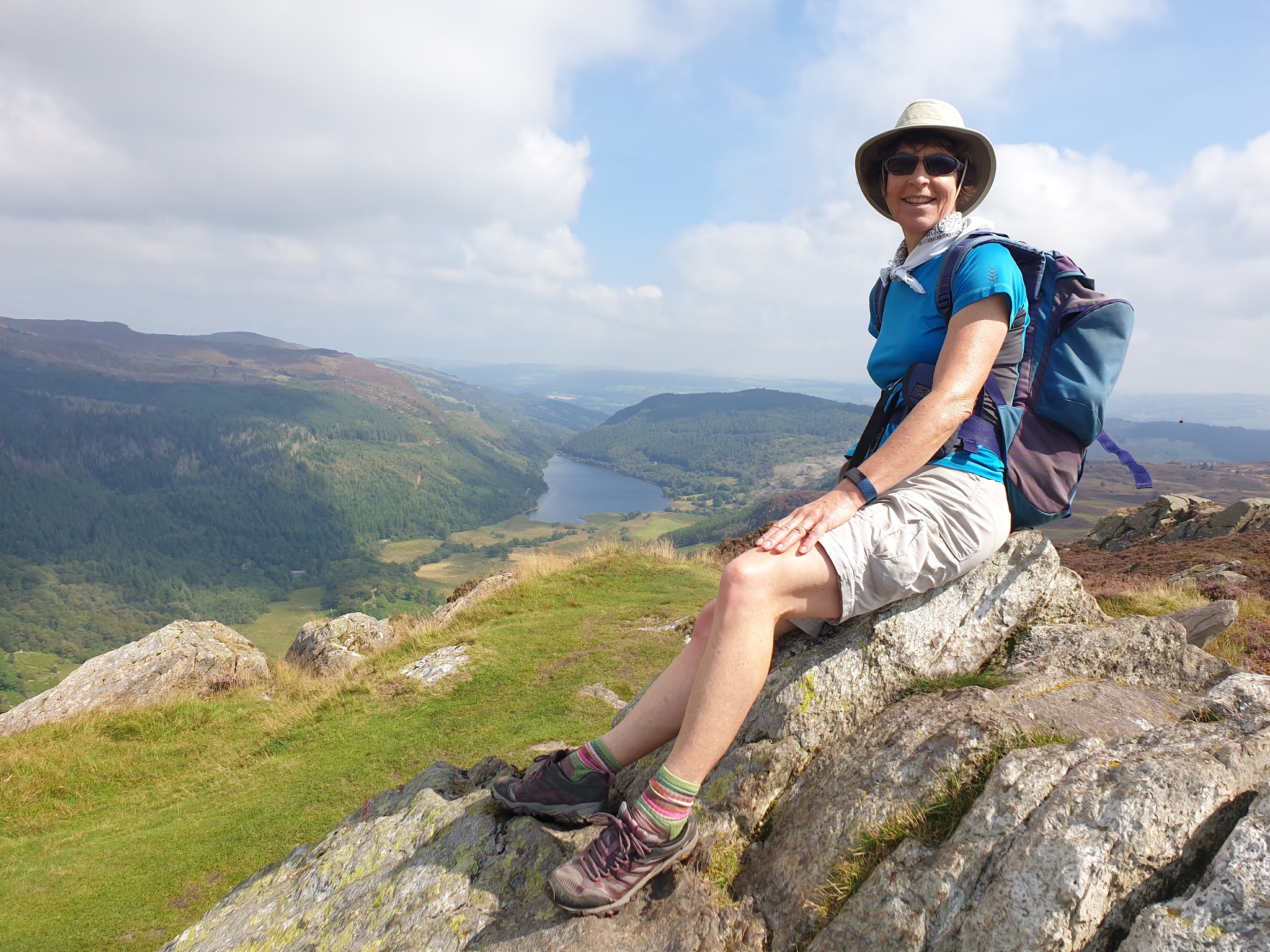
The next picture was taken from our elevenses bench, placed in memory of a lady called Sue.


Lots of different flowers were seen today. Rosebay Willowherb was fairly dominant where there was no heather, but there were also large patches of Yarrow and Harebells. I think the flower pictured below may be Sneezewort. [No, the leaves are wrong. It's Yarrow I think,]


The cloud was down again, but at least it wasn't raining! The sun came out later.

From the reservoir's dam, the new trails enticed us into the rainforest.


The 6 km circuit was most enjoyable, though it would have been easier in a clockwise direction as the waymarks were mainly visible from that direction.

We emerged next to a levada, presumably part of the power station infrastructure. 


Here's another view from the dam, showing the newly laid path that leads to the rainforest and Maentwrog. 


Then it was simply a question of ambling along the lakeside paths and tracks, chatting at length with a couple of old codgers and then with a couple of mountain bikers en route, as well as pausing for lunch, and to admire the lakeside views.


We even found time to enjoy afternoon tea on a bench overlooking the lake. 


We were back at the car by about 3:30, after our walk of about 19 km with 350 metres ascent. Another excellent day out, before a successful visit to our local fish and chips and mushy peas shop.

Here's our route - a blue line, if you can make it out.


Wednesday 25 August 2021

Wednesday 25 August 2021 - Capel Curig, Crimpiau, Crafnant and Geirionydd


Lovely weather today for a walk that started with a 5km circuit of Capel Curig.


By the time we got to Clogwyn Mawr, we would have enjoyed wide ranging views over Snowdonia had many of the summits not been engulfed in cloud.

However, nearby Moel Siabod was free of the cloud.


We ascended steadily past banks of heather to the head of the valley to the east of Crimpiau, a 475 metre summit.


We enjoyed a dogleg from our planned route, to visit the summit of Crimpiau, from where we gained our first sight of Llyn Crafnant.


There were also views to the 3000ft summits of Snowdonia, with Tryfan distinctive in the foreground. 


Back at the pass, lots of backpackers on some sort of training course were passing through. We descended, with improving views to Llyn Crafnant. 
 

From a convenient bench on the good lakeside path, we gazed up at the summit we'd been sitting on a little earlier. 


At the head of the lake is a monument to the landowner who donated it together with 19 acres of his precious land.


We took a while to navigate our way along Trefriw Trail paths, overgrown with bracken, reaching Llyn Geirionydd at a monument to the bard, Taliesin - some of whose Welsh poems survive from the 6th century. 

The lake is used for water sports that were much in evidence today on the eastern side of the lake. We enjoyed a quiet path on the other side.


The next few km were along forestry tracks more suited to mountain biking, the highlight being pretty Llyn Bychan. 


Eventually we turned down a delightful woodland path and enjoyed afternoon tea at a pretty bridge over Afon Abraham.


Now on the excellent paths of the Snowdonia Slate Trail, we rose steadily before exiting the forest for the last time. The Snowdonian summits were now clear of cloud, if a little hazy.


We made our way back to Capel Curig along fine paths, to conclude a 22km walk, with about 900 metres ascent. It took us about 7 hours. The route is shown below in dark blue - click on the image for a better version.