Lovely weather today for a walk that started with a 5km circuit of Capel Curig.
By the time we got to Clogwyn Mawr, we would have enjoyed wide ranging views over Snowdonia had many of the summits not been engulfed in cloud.
However, nearby Moel Siabod was free of the cloud.
We ascended steadily past banks of heather to the head of the valley to the east of Crimpiau, a 475 metre summit.
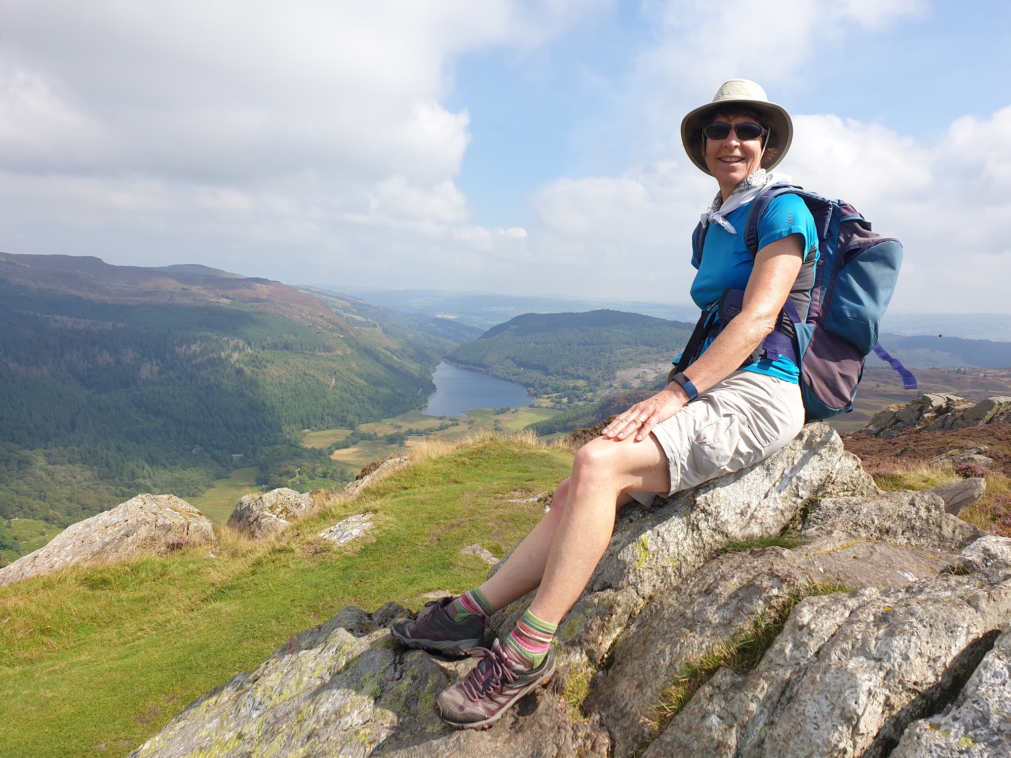
We enjoyed a dogleg from our planned route, to visit the summit of Crimpiau, from where we gained our first sight of Llyn Crafnant.
There were also views to the 3000ft summits of Snowdonia, with Tryfan distinctive in the foreground.
Back at the pass, lots of backpackers on some sort of training course were passing through. We descended, with improving views to Llyn Crafnant.
From a convenient bench on the good lakeside path, we gazed up at the summit we'd been sitting on a little earlier.
At the head of the lake is a monument to the landowner who donated it together with 19 acres of his precious land.
We took a while to navigate our way along Trefriw Trail paths, overgrown with bracken, reaching Llyn Geirionydd at a monument to the bard, Taliesin - some of whose Welsh poems survive from the 6th century.
The lake is used for water sports that were much in evidence today on the eastern side of the lake. We enjoyed a quiet path on the other side.
The next few km were along forestry tracks more suited to mountain biking, the highlight being pretty Llyn Bychan.
Eventually we turned down a delightful woodland path and enjoyed afternoon tea at a pretty bridge over Afon Abraham.
Now on the excellent paths of the Snowdonia Slate Trail, we rose steadily before exiting the forest for the last time. The Snowdonian summits were now clear of cloud, if a little hazy.
We made our way back to Capel Curig along fine paths, to conclude a 22km walk, with about 900 metres ascent. It took us about 7 hours. The route is shown below in dark blue - click on the image for a better version.


No comments:
Post a Comment