Goats at Mas Nou
Sue and Martin's Big Adventure
Day 53 - Thursday 16 September 2004 - Stage 44
Postcard Summary
Homely
Gite to Col
More trees and blackberry lanes as we
head east in fine weather- 7.3 hours, 21 km, 1000m ascent
Despite being nearly at our final
destination, we only caught occasional glimpses of the Mediterranean
today, as we progressed from the nice gite at Las Illas to another gite at Col
de L’Ouillat. We travelled an undulating
road (mainly dirt tracks bordered by succulent blackberries) down to a dreadful
place called Col du Perthus, where the streets were crammed with people trying
to buy cheap booze from the many supermarkets.
Then along a quiet road for lunch by an ancient fountain, before taking
woodland paths up to our destination.
The views from the gite were breathtaking, west to Canigou, and south
into Spain

Diary Entry (by Martin)
Ann and Vincent
move early as they have to be at Col de L’Ouillat by 3 pm, and they are
determined to get there in time. They are very quiet but this still gets us up
by 7 am. We join the others for breakfast - they leave soon after 7 am, and we
eventually get away in clear weather at 7.40.
There's a cool breeze
as we go (dressed in shorts and t-shirt as near the Mediterranean
Sea ) up a lane from 550 metres to 730 metres. First home cooked
breakfast for some time - muesli - and Sue has stomach ache. Nurofen sorts it
out.
Look down on the
red roofs and yellow walls of Las Illas - a pretty village. Trees everywhere
now, so views are limited. Pinks are still in flower, and ragwort and others. The
blackberries are superb. The sun pops up briefly at 8.25, but for most of today
we are in the shade of hills or trees. Cacti are occasionally seen. In the Pyrenees ? We continue to Mas Nou through dark beech woods
penetrated only by thin beams of light.
The peaks ahead are
covered by mist, but this clears as the day develops into a crystal clear
autumn day, with deep blue skies and distant views into both France and Spain Cheshire Pyrenees
foothills. Glaring sun blinds as we go past banks of heather and lanes laden
with blackberries.
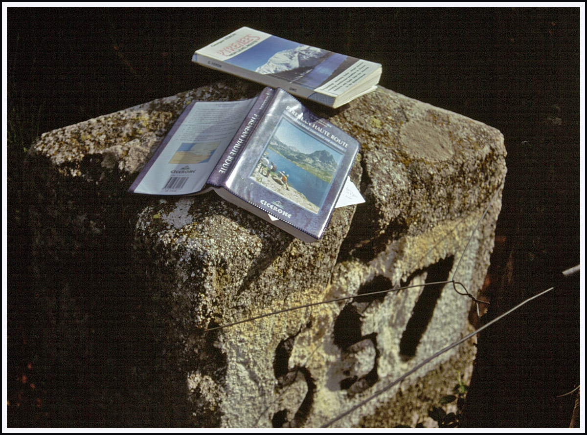
We reach Col del
Priorat at 10.10 and admire the magnificent border stone number 565.
Next, and until
the end of today's walk, we are in a cork tree zone. The trees are stripped up
to about 10 feet high, freshly stripped trees showing bright red, with the stripped
wood darkening with age. The cork seems to gradually grow back.


A message from
Vincent and Ann, (written on a piece of paper and secured by two rocks in the
middle of the track!) alerts us to the trees we have already admired. We pass a
medieval priory and an even more magnificent border stone, on a point with
extensive views both north and south, below a 17th century fort. It's very
windy here at about 350 metres, as windy as at any time on this trip.

Border stone number 567 and Panissars Roman
remains

A view into Spain
And so to Col du
Perthus, a pretty nasty place full of traffic, supermarkets selling booze (a
feature of French/Spanish border towns) and crowded streets. We quickly got
adequate supplies to last until Banyuls, but skipped the fruit due to the lack
of a grocery. 12 to 12.30.

Banyuls now signposted at Col Perthus
Then up a cool, shady
road for lunch at an enclosed fountain - Fontaine Ste Marie (1885).

Fleeces needed
despite the low venue and close proximity to the Mediterranean !
Blue cheese / pâté went down well. Then
we ascended on nice paths - GR10 all day - up to the café / gîte at Col de
L’Ouillat, before where a message from Vincent and Ann told us their taxi was
here, so 'au revoir'. We missed them by just a few minutes, as we arrived at
the Col
This is a superb
spot, with extensive views south to eight lines of ridges in Spain
But dominant on
the horizon to the west is the Canigou massif. It looks close, but it's four
days walk away! We are unable to identify the main summit.


After cold and delicious Oranginas, Sue
makes an approach about staying in the gîte. It takes forty people, so this is
a formality as we seem to be the only people other than Vincent and Ann staying
in gîtes. But no! the luck Vincent and Ann have brought us deserts us. The gîte
is full! So we will camp outside and they can provide a meal at 6.30. So that's
ok really as we don't fancy another 1½ hours to the unmanned Tagnarede Hut, and
camping should enable us to get an early start on tomorrow's long, final stage.
The meal was good. I had anchovy salad (more
like small rollmops) and Catalan grill - lots of grilled meat and a slab of
potato and salad, black pudding, bacon, pork chop, steak, sausage etc. Sue had
a goat's cheese salad and duck in a honey sauce with peaches. All very good;
the chef was relaxed even if the other two 'guardians' were pacing around,
apprehensive about the large number of customers about to arrive. They did
arrive - in about ten four-wheel drive vehicles, around 9 pm, after we had gone
to bed. A fortunate camp, the gîte with 40 late night revellers would have been
awful.

Sunset from Col de L’Ouillat
Stats
and route (Viewranger):
23
km, 1200 metres ascent, 7.3 hours