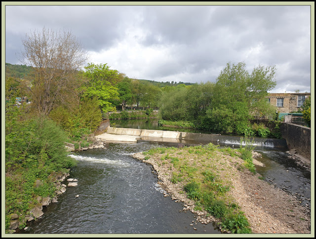
The River Irwell in Ramsbottom - spot the heron!
I tried to set off on this walk last Tuesday, on a foul, rainy morning. So I bottled out when I reached Ramsbottom Station and found other things to do. Anyway, I discovered the free parking at the station, and parked up again on a much more promising day.
Mark's route crosses the Irwell near a weir, and heads through an industrial landscape before crossing a field and looking back towards the noxious smells of a recycling plant.
Ahead, beyond feeding starlings and a small footbridge and stile, the path veered right, next to a slabstone fence leading towards Stubbins. I was teased by signs denoting the route of the Irwell Sculpture Trail - as usual I could spot no sculptures.
Looking back along the slabstone fence
After re-crossing the river, the path formed a ginnel that splits an avenue of gardens, then it continued alongside the river on the right and a meadow on the left.
The path, now described as the 'Rossendale Way', emerged at a road after a metal kissing gate, passed under two bridges, and started its relentless rise up onto the moor. Spring greenery and bluebells dominated as I climbed above the last houses of Stubbins.
Climbing through the woodland, I missed a path to open moor on the right. My route through Buckden Wood was just as good, if not better, and I emerged at the point shown below onto a minor road where a right turn soon had me back on track by way of a path to the left.
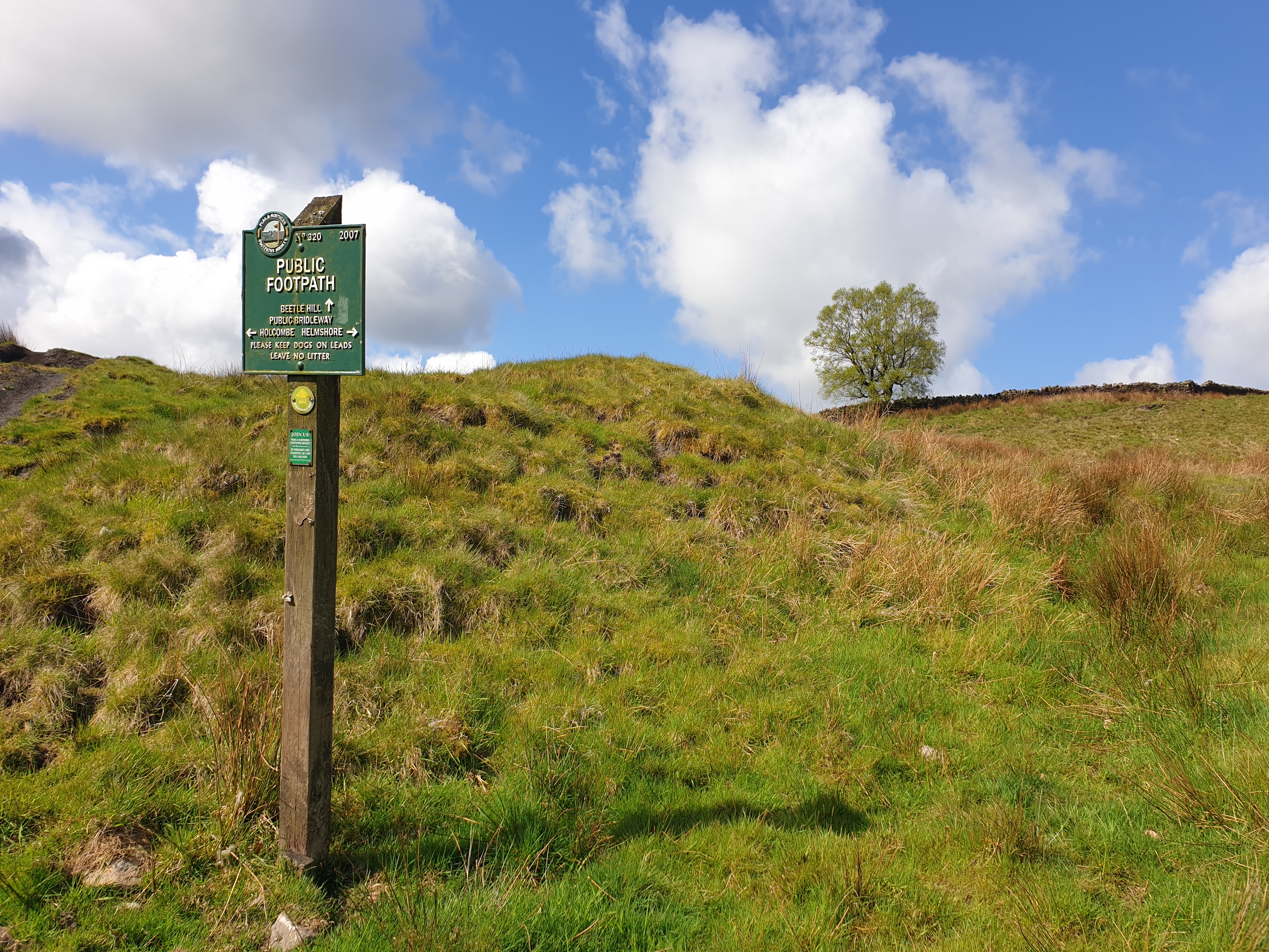
This path led inexorably uphill onto Holcombe Moor.
Readers who take part in the East Lancs LDWA's 'Two Crosses' walk may recognise the 'Naughty Corner' checkpoint, where stalwart supporters of the event congregate to feed the passing participants tumblers of sherry, whisky, port, etc. You get the picture...
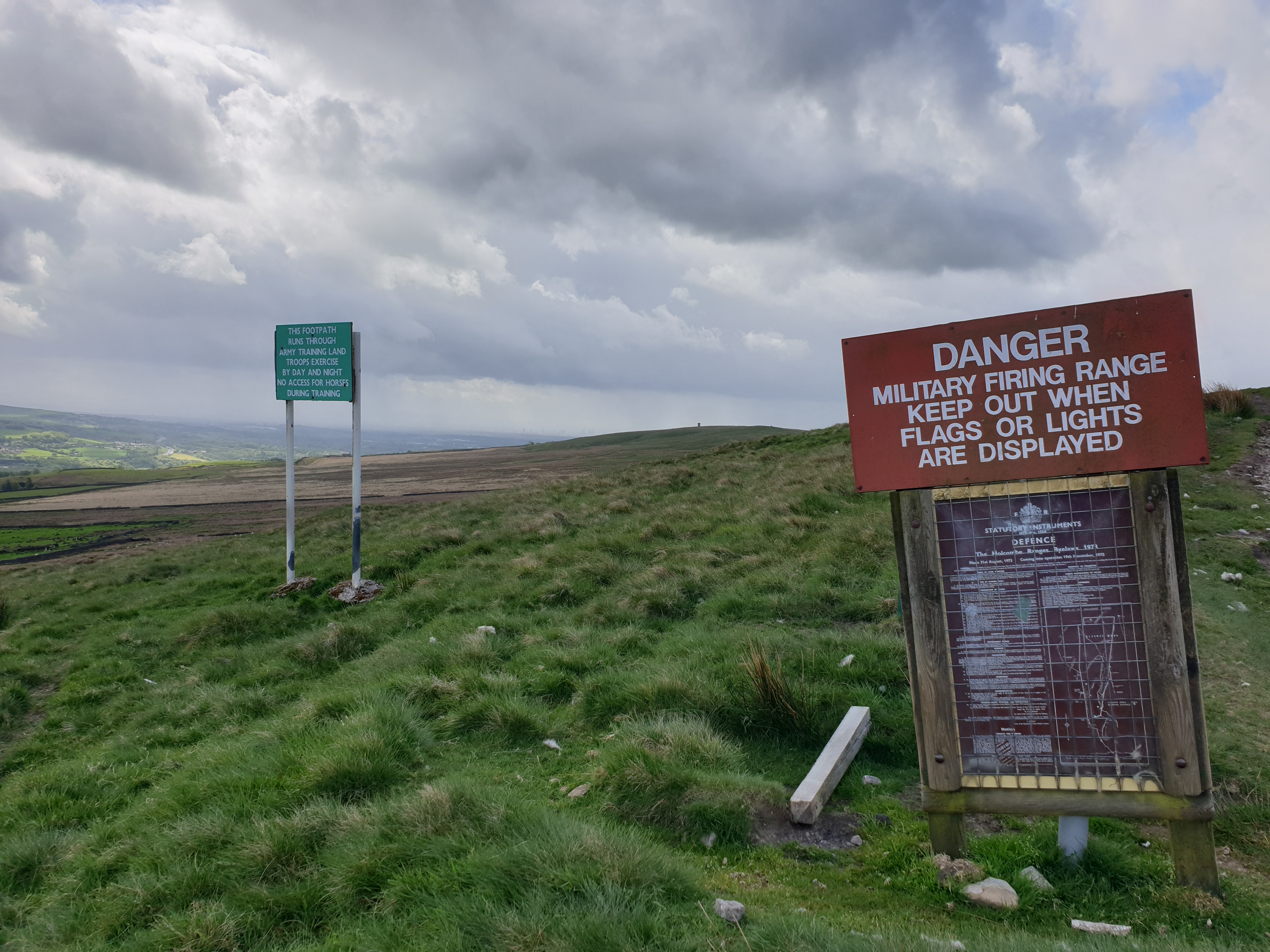
My path continued past signs proclaiming a military zone, and ubiquitous yellow topped posts heading towards the Pilgrims' Cross.
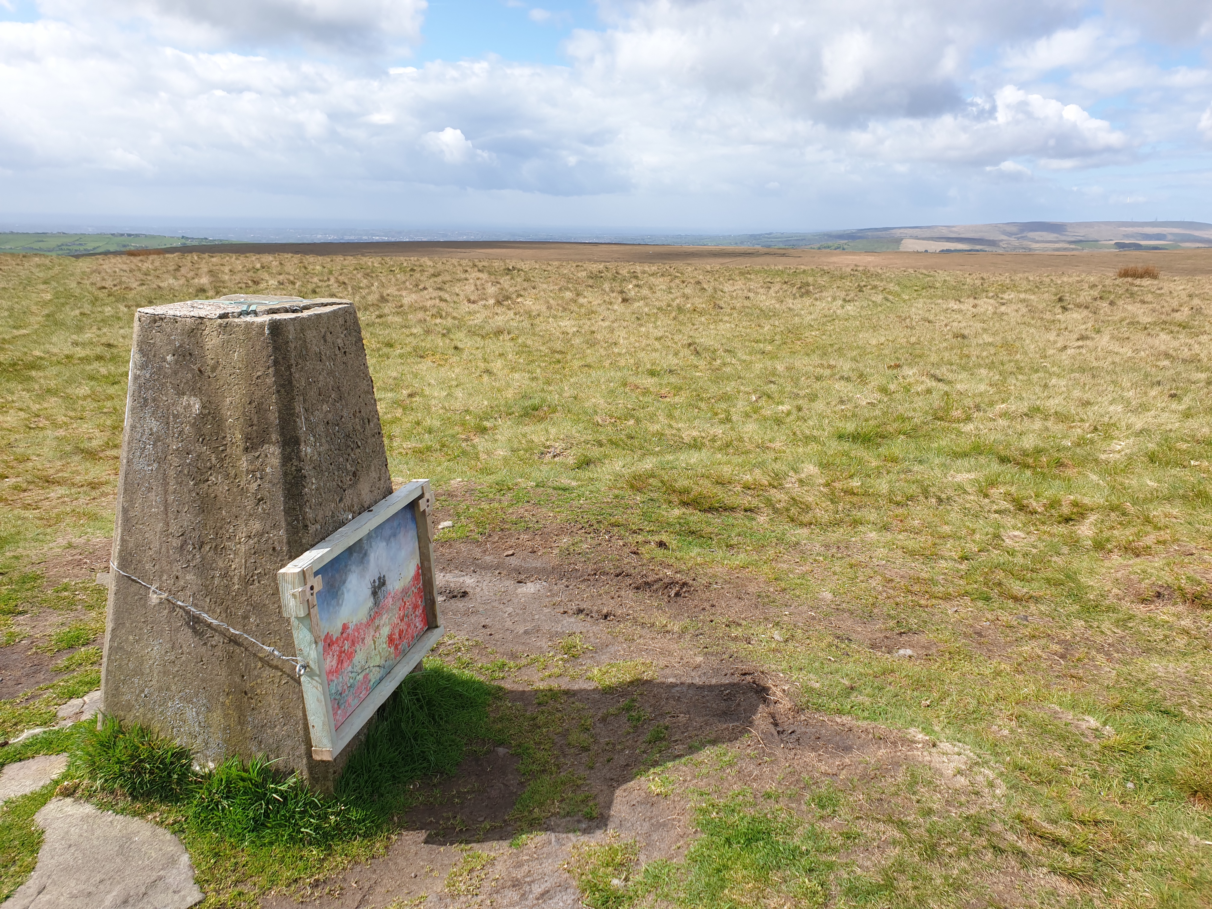
I eschewed the path and headed 'cross country' to the 418 metre summit of Bull Hill, taking care to avoid the hosts of ground nesting birds. Someone has fixed a topical picture to the trig point. Russian troops are wreaking havoc in the Ukraine; this summit is in the middle of a military zone.
From the trig point, the nearby Peel Monument appears as a pinprick on the horizon.
A faint path leads down to the Pilgrims' Cross, a monument erected in 1902. According to Mark Sutcliffe the ancient routes of Lancashire were often marked by wayside crosses, and it is thought that there has been a cross here since as far back as the 12th century, when it would have been used by pilgrims making for Whalley Abbey.
Today, a small stone in memory of 'Bob' has been placed on the cross.
The 'Two Crosses' route heads directly towards the Peel Monument over Harcles Hill and through a bog. Mark's route follows a marked path, scoured by tyre tracks, across the western flank of the plateau before descending to a pleasant path that heads towards Taylor's Farm.
Today's paths were quite popular - I must have passed about a dozen walkers. Before reaching Taylor's Farm I passed a box housing Visitor Guides. Empty.
The terrain to my left became increasingly steep and unlikely to house a footpath. However, before reaching Taylor's Farm, an obvious steep thrutch led up towards the monument. Looking down, perhaps there isn't the impression of steepness that one encounters on the ground! Feel free to comment in due course, BC!
The steepness didn't last for long, then a gentle ascent on the 'West Pennine Way' led to the impressive structure that lords it over Ramsbottom - the Peel Monument. It was built in 1851 from local gritstone (there is still an operating quarry visible across the valley) costing £1000 raised by public subscription to mark their gratitude to Sir Robert Peel for his role in repealing the Corn Laws that had artificially inflated food prices whilst depressing demand for the industrial goods produced in the local mills.
A worn path, the usual route of ascent to the monument, led me rapidly downhill with views over Holcombe to Ramsbottom.
The Shoulder of Mutton in Holcombe could provide a good pit stop on a day when more time is available and you arrive after opening time.
Beyond Holcombe's church, a steep road leads down to the fleshpots of Ramsbottom, where I found a good bench on which to enjoy my lunch, before heading back to the car, and onwards to dog walking duties in Bacup.
Here's my route - about 12km with 400 metres ascent, taking me 3.25 hours including 30 minutes of breaks.
Another nice walk, courtesy of Mark Sutcliffe.


3 comments:
Haven't done that one yet - too far for my medial ligament. Looks full of interest.
I walked the full Irwell Sculpture Trail a few years ago and spotted about three sculptures in total!
29th 2018 during my Berwick to Castle Cary walk, from a photo caption on my blog post:
"The start, over the bridge of The Irwell Sculpture Trail as named on the OS map, not a sculpture in sight."
I later christened it as The Artless Trail.
There are some 'sculptures further south, on the approach to Salford!
Post a Comment