Sue and Martin in Mallorca 2019

Sue and Martin in Mallorca 2019
On the Archduke's Path in Mallorca

Tuesday, 9 February 2021

Summer in the Alps - 2005 - Wednesday 17 August - Via Ferrata Ivona Dibona


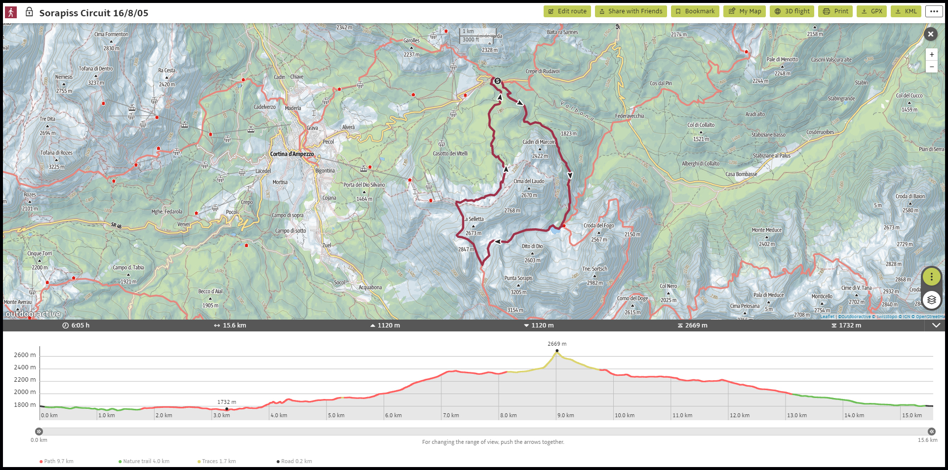
                   The Via Ferrata starts from Rifugio Lorenzi (2932 metres)
                                       (click on the image for a slideshow)

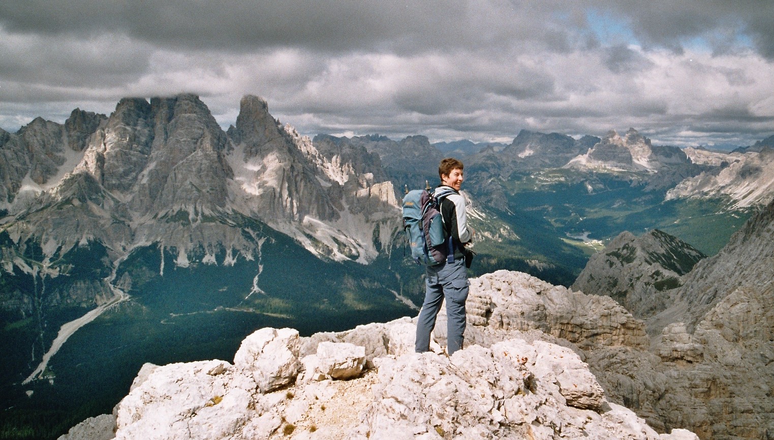
Wednesday 17 August - Via Ferrata Ivona Dibona (by Martin) 

The day dawned bright and clear for our planned traverse of the Ivona Dibona via ferrata, one of our favourite routes (CORT 6 - grade 2B, our 4th visit). 

After the usual tea, muesli and yoghurt, Sue and I set off with Ian and Caroline at 8:20 in the two cars and dropped ours at 8:40 at L'Ospitale, where the parking spaces had nearly all already been taken. Then in Ian and Caroline's Peugeot 206 we went to the huge car park at Rio Gere, and after toilet stops etc, we got the chair lift and then the bucket lift up to Rifugio Lorenzi at 2932 metres.


The suspension bridge that you can see high above the 'bucket' is the longest in the Dolomites

Ian, an experienced climber, helps the locals 'kit up'

It was delightfully cool as we joined a long queue  to the bottom of the metal steps. After getting to the top of the lift at 10 am, we set off at 10:30. 

For the first two hours we queued at length on this warm sunny day, behind hundreds of Italians and their children. Some of the latter moved quicker than us all day, but the move (stretch) needed to get onto the ladder, and the steep rocks below, caused a major jam.

Free at last to move at my own pace


On the suspension bridge

The path to Cristallino d'Ampezzo (3008 m)

We nipped across to the peak of Cristallino d'Ampezzo (3008 metres) for a break from the queue.


The whole experience would have been miserable in poor weather but it was ok today. We finally reached Forcella Grande after more than two hours, and, largely free from the crowds, we continued quickly on to our lunch spot - on the raised balcony of a bivouac hut at Forcella Padeon. 

We got there by the official route, involving an unlikely left turn steeply down then right, avoiding the unprotected ridge route taken by others. (12:30)


We enjoyed a bit of shade after lunch by way of high cloud. Our route continued on across the relentlessly exposed ledges, sometimes aided, sometimes not, the aid usually being used as a handrail only. 

The sky was now bright but overcast, affording some shade from the burning sun. We came across a lone German from Heidelberg - Joachim, a GP who had done a biochemistry degree at Princetown, and GP training in the Gorbals in Glasgow. He thought there was a route for him to get back to Rio Gere, but it had been closed off. Nice chap. 

We reached Forcella Bassa (2433 m) at 3:30, and continued relentlessly along the ridge. By 5 pm we could see the car at L'Ospitale from the end of the ridge, where we made a slight diversion to visit a high point.


On the steep descent to Forcella Bassa

Beers at L'Ospitale were most welcome. We waited for a while for Joachim (shattered), buying him a beer when he eventually turned up; then we took him back to his car at Rio Gere, after calls to Julia and Megan had fixed rendezvous arrangements. 

So we all got back to camp, showered, etc, and were soon in Cortina at Pizzeria Porto Rotondo for an excellent if relatively expensive meal for the seven of us, a fitting climax to an excellent mountain day. Outside, the climbing wall still operated for young children, and an Italian singer droned on.

A couple of Viewranger screen dumps show our route - 
9 km with just 200 metres ascent, taking all of 7 hours

Next Day

Monday, 8 February 2021

Summer in the Alps - 2005 - Tuesday 16 August - A Sorapiss Circuit


                      Fancy an apartment in Cortina? I wonder what this now looks like?

Tuesday 16 August - A Sorapiss Circuit (by Sue) 

A cool morning and a high cloud covering, but the Co-op forecast was for a dry day. The Co-op provided sustenance, then Sue and I drove to Passo Tre Croci for a walking circuit in the Sorapiss group. 

We set off at 10:40, along path 215, a lovely contouring path, with long views down the valley to the east.

The damp ground between the pines required caution due to the numerous tree roots. It was busy, so some overtaking had to be employed. Interest was created by a few wired rocky sections, and some ascent towards the refuge up metal staircases. Too much for some tourists who were resting by the path. 

Rifugio Vandelli enjoyed a good view, and we were warmed by hot chocolates that had the consistency of mousse and needed a spoon to eat them! (12:00 to 12:25.)


The view from Rif Vandelli

We didn't linger, as our onward route might take some time. A little further on a small lake, Lago di Sorapiss, enticed a lot of people onto its shores. It was an ice blue colour. 

Once past here we lost the crowds, except for two East Germans descending the scree that we were climbing.

At the top of the scree, a small patch of grass enclosed by rocks made a fine picnic spot (1:25 to 2:00) but it was cold enough (10°C) to wear a pertex and gloves.


From there the path entered a bowl of limestone, quite barren (path 215/242/AV3), then more scree. 


At a path junction (2:40) we turned right along path 215, preparing to scramble up a long ramp, protected by wires in places. There were a few stemples too. 


We climbed with burning calves and sore knees to a col (3:40 to 3:50) from which it was only a few steps to a summit at 2738 metres. (Sella di Punta Nera)


Dwarf Rampion


Views were stunning. The 3000 metre tops had their heads in cloud, but elsewhere it was clear - to the rest of the Sorapiss group and out to Tofana, Marmolada and beyond, as well as down to Cortina and the top of the Faloria cablecar. Only a chough for company.


Looking back to Lago di Sorapiss

Spot the Faloria cablecar

The view to Tofane

Path 215 contoured, descending slowly through a huge scree field, with several rock bands where hands were needed, bringing us out at Forcella Faloria at 2309 metres (4:50) with wooded prospects below. Here we saw about ten chamois far below us. 


An apple and cheese break got us on our way along path 213, which undulated through grassy limestone scenery, before starting to drop through the pines.

The jeep track turned out to be a pleasant green one, and we strolled back to the car for 6:20. This had been a spectacular walk, for its varied scenery, stunning views, hot chocolates, and strenuous nature!

Note the splendid new green bowl!

Back at Camping Dolomiti the others had only returned 15 minutes earlier. We brewed, made dinner and showered afterwards. Our trial of spinach gnochetti was fairly successful despite Martin's description - 'otter's poo'.

Sunset on Sorapiss

Here are three versions of our route, 16 km with 1100 metres ascent:
Above: a photo of the 1:25000 map - follow the green highlighter clockwise
Below: two versions of screendumps from Outdooractive (Viewranger's new home)
As always, click on the image for a better version


Next Day