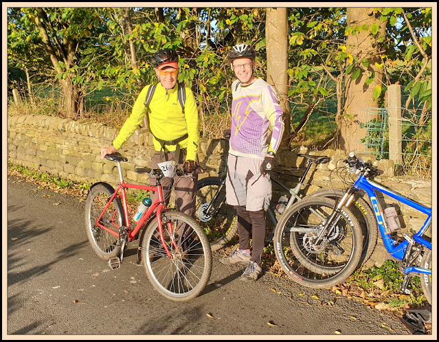
Paul and Greg joined me on what was my 18th participation in this ride, organised as a fundraising event for the local Scout group. My reports since 2007 can be found here.
This 'Covid' year there was no mass start. You could arrive, register, and collect your number at the cricket pavilion in Sowerby Bridge between 7:45 and 9:00, and you were deemed to have started from the pavilion ten minutes after collecting your number. The system worked well, and social distancing was achieved as effectively as could be expected. I think everyone was glad to be back after last year's event was cancelled due to the pandemic.
Despite having to come through fog on the M62, the weather for this year's ride was superb - sunny and not too hot, with fairly dry undertyre conditions. Minimal cleaning of bike was needed afterwards.
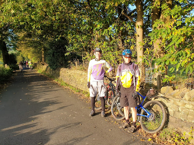
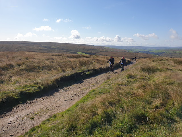
The three of us paused in Dean Lane for a couple of photos near the spot from where the usual mass start sets off.
We were delighted to discover that the course had been adjusted to avoid the steep climb out of Mill Bank. Greg went ahead, but Paul stayed with me at a slow pace until after about 10 miles.
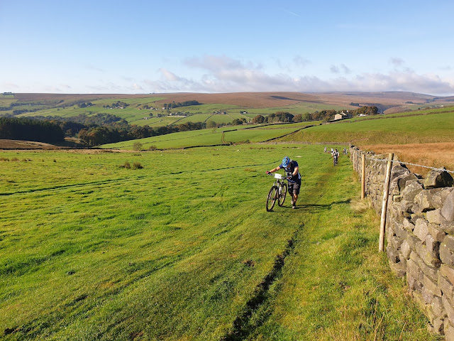
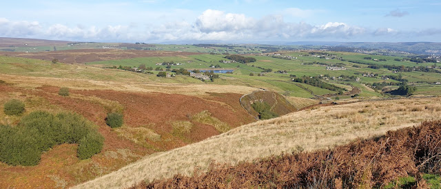
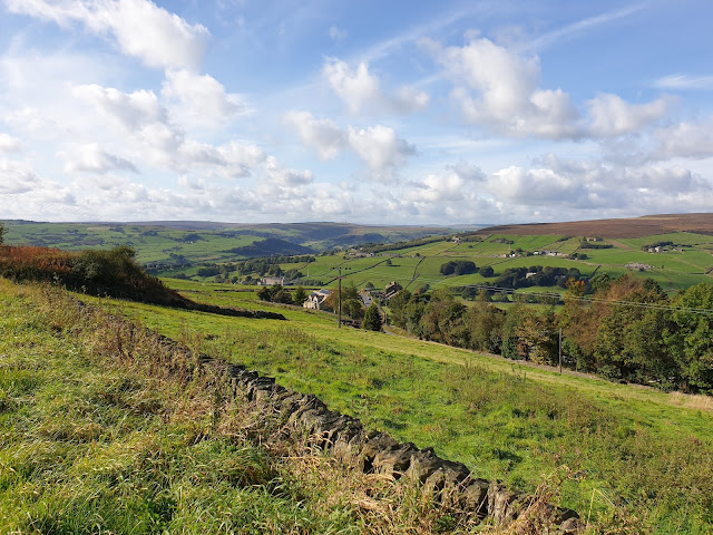
Before the first food point, we got good views from near Moor End. My sunspecs kept misting up, as at this point did my camera lens.
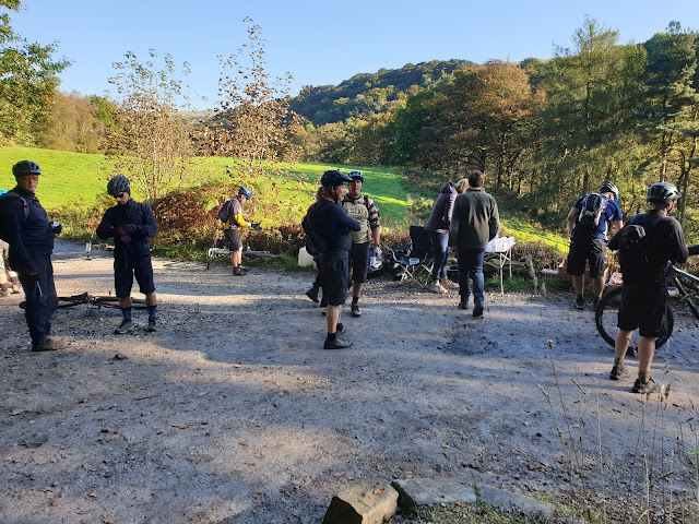
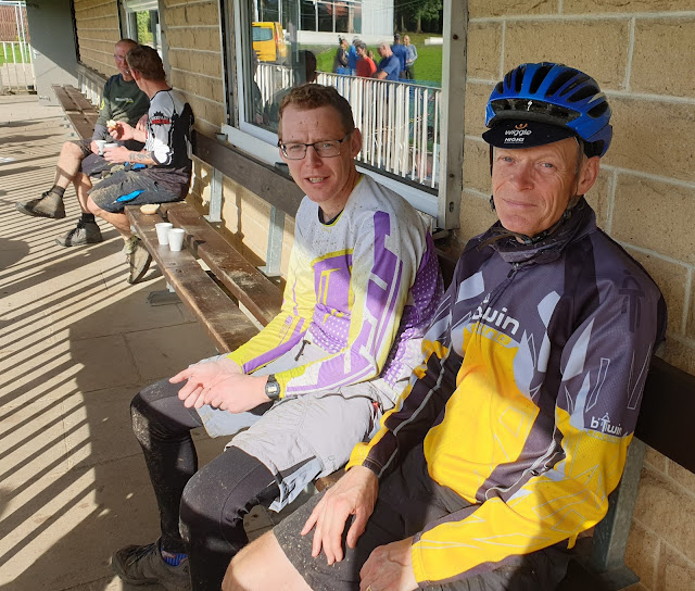
Paul was waiting for me at the Hardcastle Crags checkpoint and food and drink station.
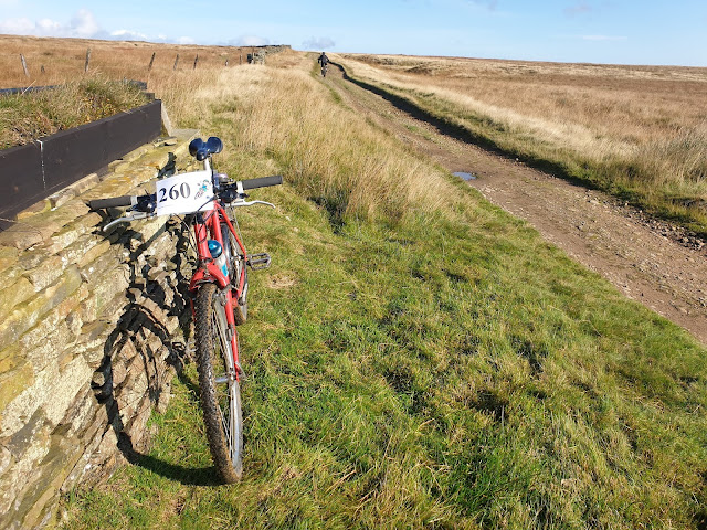
Support was provided at just two points this year, here (SD 987 298) after 9.2 miles, and later at Fly Flats (SE 036 317), after 17.7 miles. There were lots of drinks, flapjack, jelly babies and bananas, and plenty of cheery volunteers to encourage the riders. The bananas eventually ran out - I got the last one at Fly Flats.
Hardcastle Crags support point
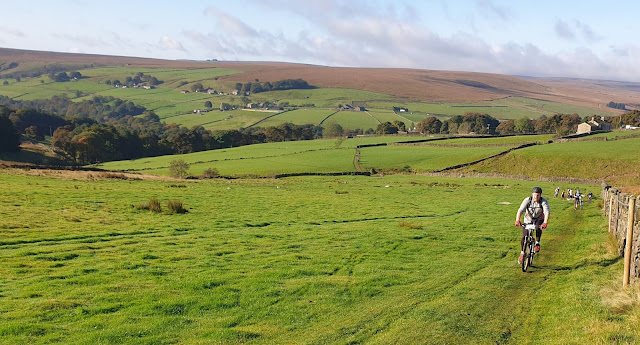
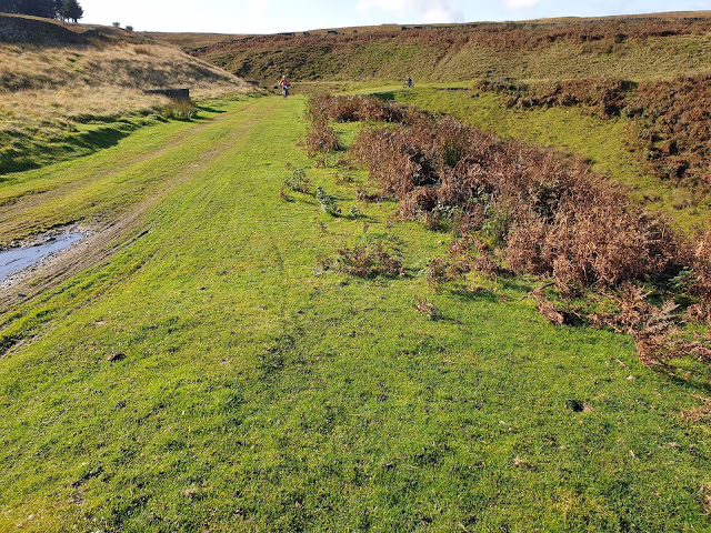
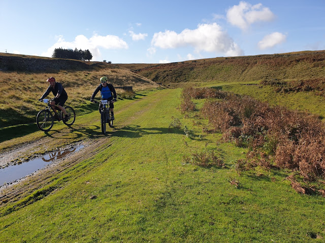
A little further on, I saw Paul pedal off into the distance whilst I sought not to over exert myself on the climb up the grassy slope out of Walshaw. Others did likewise.
It's steeper than it looks!
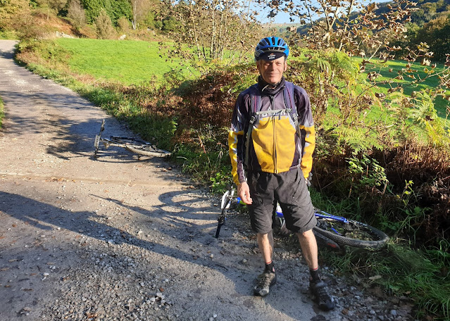
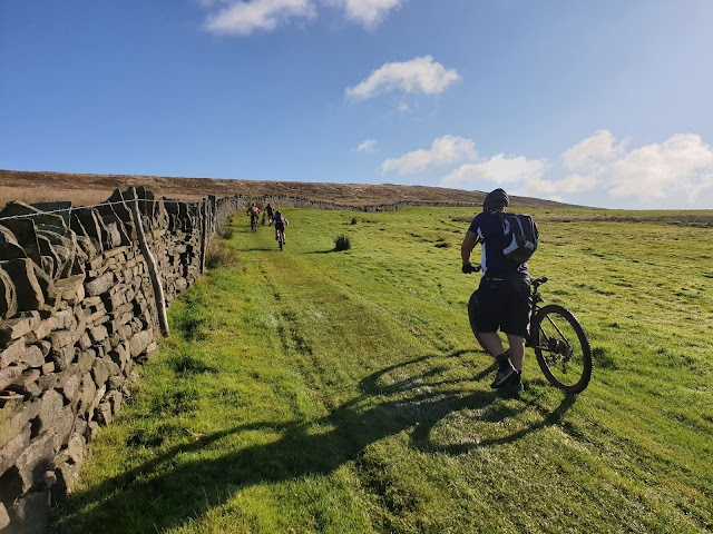
I stopped again on a long ascent near Stairs Dyke. It really was a lovely morning.
The riders were pretty spread out, and by now the faster people were all ahead, so there was a fair degree of cameraderie on the long ascent on the new route after Grain Water Bridge, where we turned left up the hill rather than right towards the terrors of Midgley Moor.
The next section beside a culvert to Hebden Bridge Road and beyond was delightful. I stopped to take a few photos just before the road, above Grinding Stone Hole.
A mixture of tarmac and tracks on the well signposted route (so far) offered great views over the South Pennine countryside. My camera came out for the last time as we passed above Wainstalls after pausing for a while at the Fly Flats support point above Warley Moor Reservoir.
The next section to Luddenden involved some steep downhills and squealing brakes as a group of about ten of us made our way down. On Abbey Lane I think we must have missed a sign, or it had been removed, so instead of a steep track, we had a steep road by way of the descent, coming out at a junction with no signage. A left turn proved to be correct and we returned to the signed route at a junction with the A646 road.
From there, an undulating (mostly in the up direction) route took us up some very steep cobbles (I walked, but still found myself at the head of the 'group of ten') near Hand Carr Farm, before reaching Sowerby Lane and a fairly docile final 3km to return to the cricket pavilion.
Greg was some 45 minutes ahead, and his dad was a good ten minutes ahead of me, but there was time for me to enjoy soup and a roll and a coffee for lunch, before we returned home - no time for a beer as Paul and Greg had lots of commitments for the rest of the day! And we were all in Paul's car as mine would have been trapped by Manchester Marathon road closures, so I'd cycled in the dark to Paul's 'outside the Marathon zone' house earlier.
Here's this year's route - 44km (28.4 miles), with 1050 metres ascent. Click on the image for a better version.
Here's my CMBM spreadsheet, I've excluded the eBikes (17 this year).
Thanks, as always, go to the many volunteers who make this event possible.


No comments:
Post a Comment