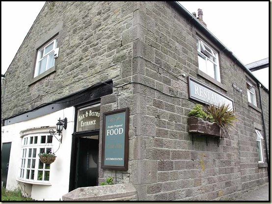
A cast of 20 arrived at the Bay Horse in Adlington, for this mixture of a Railway Ramble and a historic trip around Adlington and Standish, courtesy of East Lancashire LDWA ‘Plodders’, led by Reg.
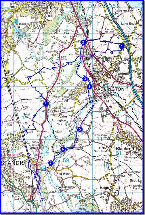
I was late, so missed Reg’s 15 minute introduction to this fine little ramble. To say the route was convoluted is something of an understatement – I’ve done my best to plot it on the map shown at the foot of this posting, but Reg had devised a plan that was calculated to confuse even the locals.
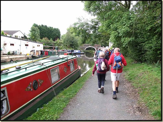
We set off at 10.40am and headed directly to the Leeds & Liverpool Canal, joining it by the A5106/A6 junction.
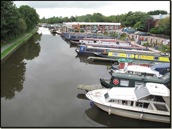
The pleasant towpath soon passed a small marina.
We marched on as I listened to Anne’s ‘Tales from the Recipe Page’. Eventually White Bear Marina, in Adlington, was reached.
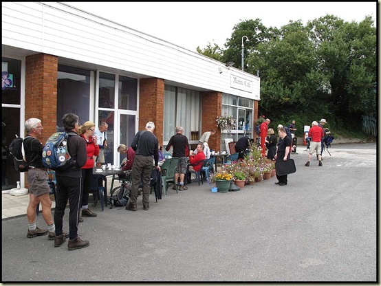
The Marina Café is staffed by Down Syndrome sufferers who provide a most efficient, friendly and welcoming service. (You should pop round here from time to time, Robert and Lyn – you live just around the corner.)
On this last day of August, whilst overcast, the day was plenty warm enough to stay outside.
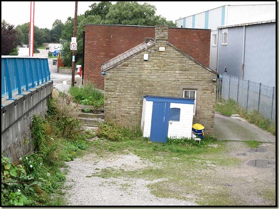
Suitably gorged with coffee and cake, we went back over the canal to rejoin the towpath and annoy lots of fishermen engaged in a competition. Near the café are the remains of the original steps down to the old platform of White Bear Station, which was closed to passengers in 1960. The stone building was part of the station; factory on the right of the picture encroaches on the course of the old railway line. There’s more here.
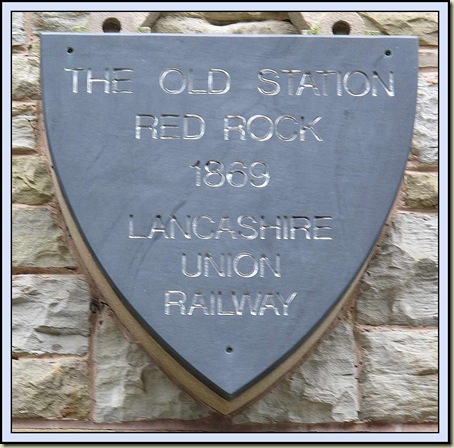
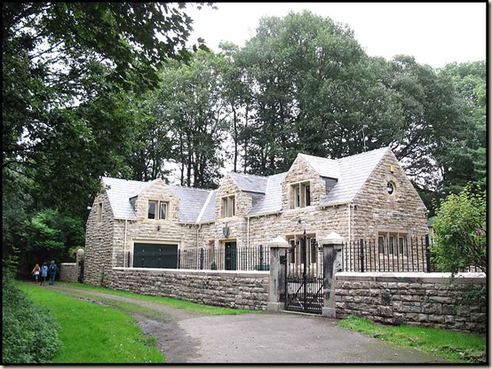
We soon left the fishermen to catch their tiddlers and headed under the canal, beside the River Douglas, to join the course of a dismantled railway. It led down to Red Rock Station, built in 1869 – see the plaque at the head of this posting. The station has now been incorporated into an impressive private house.
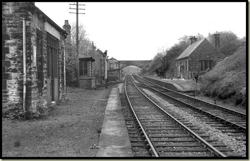
Here’s what it used to look like – this photo may have been taken from almost the exact same spot, albeit nearly 60 years ago. (I’ve borrowed the picture from here.)
Just beyond the station, Reg had organised a butty fest – huge platters of butties provided by the Bay Horse and transported to a small car park on Red Rock Lane by one of his neighbours. A splendid little break.
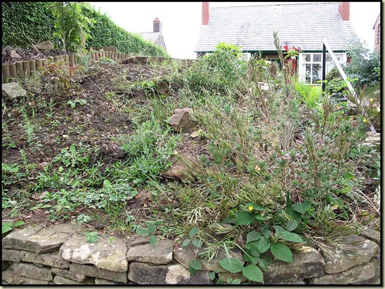
A short way down the lane, we turned left along Chorley Road and past some contrasting gardens…
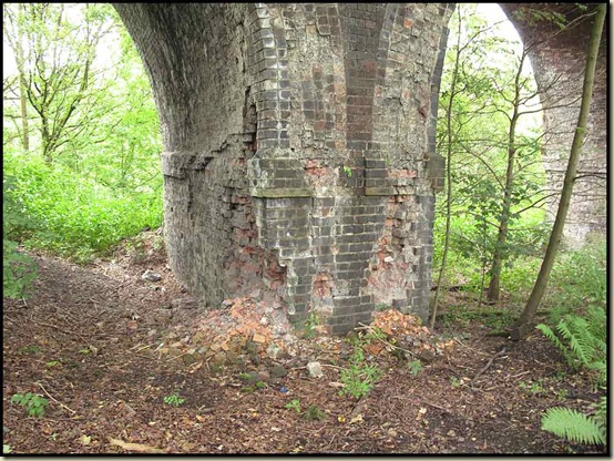
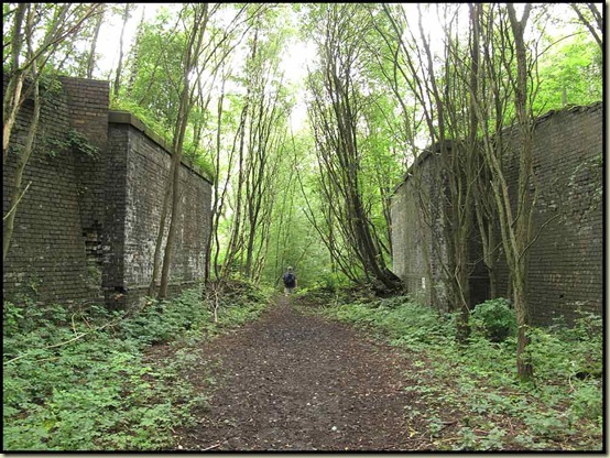
Now Reg’s imaginative route led us around the back of some houses beside a plethora (yes, a plethora) of dismantled railways, eventually leading to a huge, crumbling viaduct.
The complex pattern of lines and link lines and goods lines to mines and quarries has now been largely dismantled and whilst some of the tracks can be walked, there are few through routes and lots of dead ends due to dismantled bridges and the crumbling viaduct.
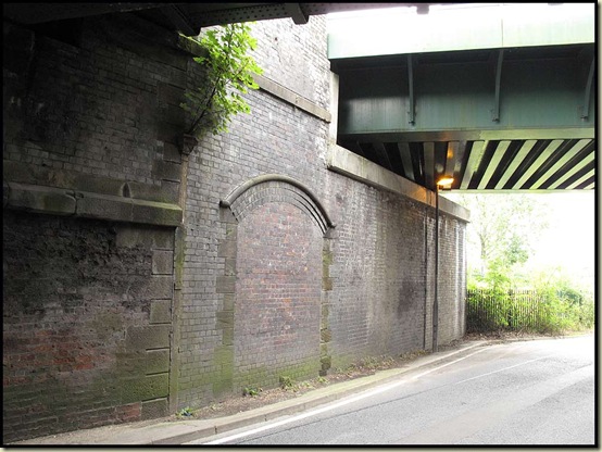
Returning to Chorley Road, we followed, almost via the site of Boars Head Station, the course of an old branch line, which took us under the current main line between Warrington and Preston. The old line joined the line that is still open at Standish Station, access to which was through the wall shown below that has been bricked up, with the main line now passing over the green bridge.
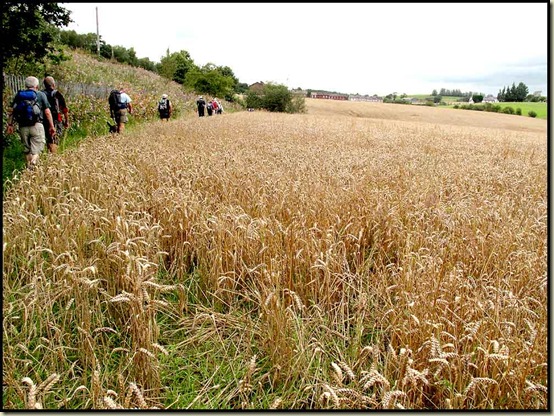
Reg’s route turned left after going under the bridge, and headed pleasantly beside crops until the next lane was reached. We were surprised that the crops hadn’t been harvested. They looked ‘tired’.
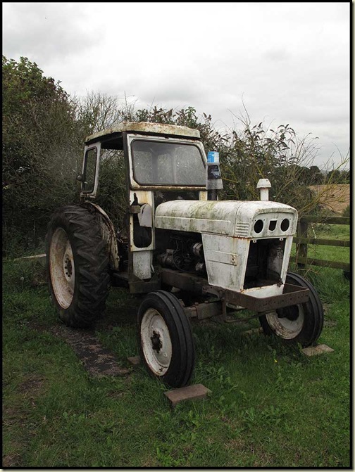
Perhaps the farm machinery wasn’t up to it.
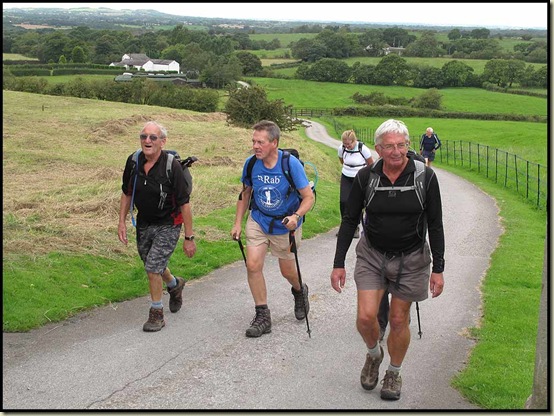
The 20 walkers were by now a bit tired. They had completed the 10 miles stipulated by Reg in his advertising literature, and had reached his predicted finishing time of 3.30pm. But there were still nearly three miles to go!
The blame was placed fairly and squarely on the antics of one of the younger members, R Norman (56), who is really not old enough to be eligible as a ‘Plodder’. He had persistently sped on ahead of the group, leading various members astray down false trails eschewed by Reg, whilst muttering “I know this area like the back of my hand”.
At one point I think I saw this vagabond disappearing into the public bar of the White Crow.
I checked out R Norman’s hand. It was very swollen today!
The site of Ellerbeck Colliery was passed as we returned towards Adlington. The colliery closed in 1965 after nearly 90 years of use, and today there are just a few signs of its existence amongst the renovated and extended buildings on the old site.
Back across the canal, there were sighs of dismay as a duo of Johns looked up at the final hill. They plodded on up the hill together with other stragglers, with Reg bringing up the rear after his final lecture.
The beer in the Bay Horse was very refreshing.
Here’s the approximate route – about 21km, with 250 metres ascent, taking about 5.5 hours including an hour of breaks.
There will be an LDWA report on this walk, maybe here. (It looks as if some of the photo uploading to this page has gone berserk, perhaps it’ll be calmed down soon…)
That’s all for now, and maybe for a while, as tomorrow Sue and I embark on a trip that may see us ‘out of range’ for over a week.
The next ‘Plodders’ walk is just 8 miles, leaving on ‘Part 4’ of the Salford Trail, from Irlam Station, at 11.00am on Tuesday 20 September. There’s also a ‘Topwalks’ walk featuring the Monsal Trail, starting from Taddington at 10.00am on Sunday 18 September. All are welcome, more details here.


4 comments:
i wish i had been able to make this walk as it looks fantastic. Still your post and map will be useful in the future.
Love the picture of the David Brown 990 Selectamatic.
A good machine in it’s day. Shame it’s looking a bit sad there.
That bridge pier is a bit worrying. Never actually seen one that bad and from the look of the (what appears to be)fresh material spilling out - its condition may be about to deteriorate fast. You'd never guess I worked maintaining bridges before I took early retirement in June! (lol)
Maybe worth while mentioning to the owner if you can track him down.
We wouldn't want the Plodders to become the Pancakes would we.
Looks and interesting stroll with a lot of history about the area I was unaware of. I would like to try and walk it but would add a small diversion to get an icecream at Fredricks.
http://www.fredericksicecream.co.uk
Robert, Alan - I wish you luck in following Reg's route - he was forever sneaking down snickets and was able to fool Norman ("I know this area like the back of my hand") on several occasions.
Fredericks is a worthy diversion, I agree.
Ken - the bridge piers are absolutely massive - it's quite a major viaduct, and not very accessible, though it doesn't really look as if it's about to collapse. Thanks for pointing out the potential danger, though. Readers Be Warned!
Post a Comment