Monday 15 August - A Croda da Lago Circuit (by Martin)
Cloudy morning.
Lie in. Get up and decide to do a big clothes wash. Need a bowl. Go to Cortina to
buy one - bright green - €4.10. Do washing and fix a line using car roof rack.
Sun and breeze make for a quick dry. Dry out blanket and the Hilleberg tent
Julia was using in Corvara.
Ian, Caroline, Megan and Lexie (Julia's daughter and family) arrive at 12:30. Campsite man throws a wobbler when Ian drives straight in. He is appeased and they book in. We leave them with Julia to install themselves. (Julia now in her own tent.)
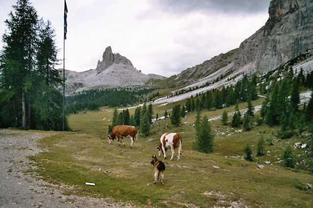
Sue and I leave at 12:45 and head up the Jeep track that is path 432, passing a herd of friendly piebald pigs.
On the way we were passed by many jeeps ferrying passengers the easy way. Lovely woods, but slightly boring track. There are campers in view of the rifugio - maybe the Italian equivalent of D of E?
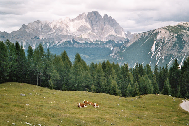
We enjoy lunch in view of the Cristallo range - 1:30 to 2:00.
A cow bellows
across to the nearby rock wall, making a huge echo. An old alsatian's barking
does similar. The dog is employed to keep the cows away from the flower tubs at
the refuge, but despite all the barking and chasing he is largely ignored.
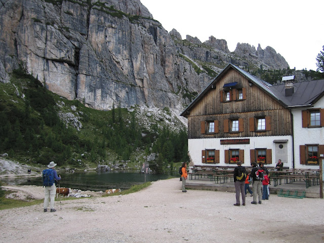
We reach Rif Croda da Lago G. Palmieri by 3:30 for cappuccino and hot chocolate.
A nice
spot is found at 2046 metres, with views up to Forcella la Ambrizzola (above).
3:50 - set off again past Lago Federa and down path 431 on a lovely route. Passed some competent Germans with a five year old, going nearly as fast as us. Back to base via path 451 by about 6 pm, for a pleasant if cool evening outside the tents with Ian, Caroline, Julia and family. Nice moon. Various noisy neighbours, but they subside*.
Our route, shown below, was about 13 km, with 970 metres ascent.
(*We
have used this campsite many times; any noise abates dramatically at 9 pm.)


No comments:
Post a Comment