

Sunday 7 November
Kodo to Pisang
Itinerary: DAY 7 Pisang (3,185m) A short walk brings us to Chame (2,713m), the administrative headquarter of
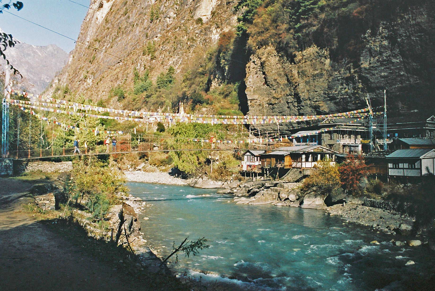
Manang District, which is relatively a wealthy village. We cross the Marsyangdi
and following the north bank we continue to move westward through pine forest
and arrive at an apple orchard village of Bhratang (2,919m), a
former settlement of Khampas (Tibetan refugee warriors). From here our trail goes through a cut in the cliff high
above the river. Then while ascending we suddenly reach a clearing that reveals
a huge rock slab of about 1,500m high. Again after crossing the Marsyangdi to
the south bank we steeply ascend through fir forest to a wider valley. Then an
easy walk along the valley takes us to camp just before lower Pisang at the
foot of
[Diarist: Martin]
6 am wake up call
with tea from Sagar. Cool this morning with a light ground frost. Washing water
soon arrived. Usual packing and ablutions before breakfast at 7 am. Rice
porridge with nuts in it, then omelette and toast (a bit cold).
Diamox was taken by Sue and me; I had no pins and needles after effect, just a diuretic reaction - six pee stops by the 11 am tea shop stop!
7:45 departure
from the 'Superb View Hotel' (it was), then a pleasant forest stroll to Chame,
where army and police check our permits and get us to sign two registers. We
speed through. Sangeev says he recognised from a name badge that one of the men
was of his family name - that helped.


The sun is up by 8:45
and those who set off in full winter gear divest their down jackets. Lindy was
cold last night so buys two more tops.


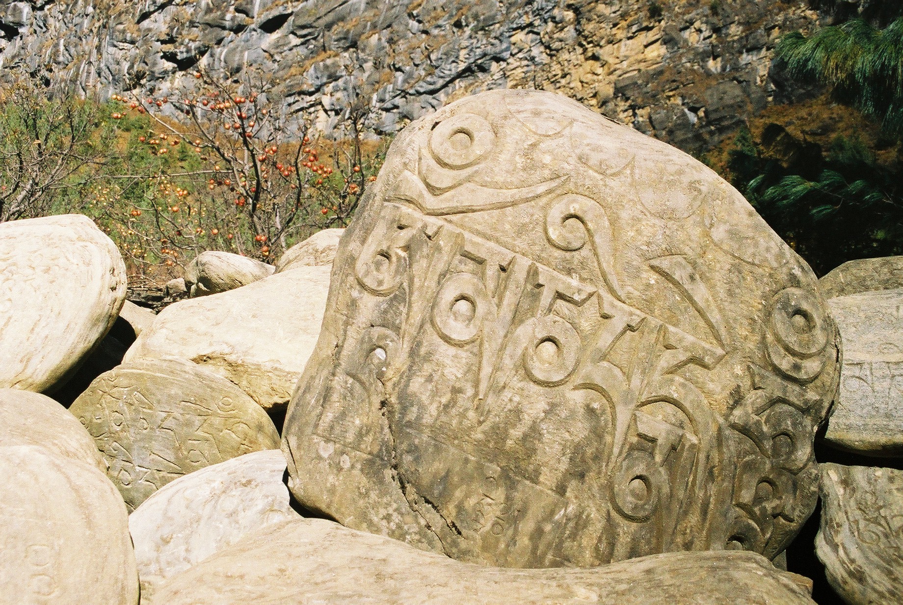
We continue on a delightful forest path. Quite busy. Mani walls and chortens before we leave Chame after lots of prayer wheels. We walk at roughly the same pace as our one-eyed, flipflopped, coughing table man.
The woodpecker like
bird in the pine trees maybe a 'Babbler'.


Superb views en route - back to Manaslu, with Lamjung high on the left, and we have glimpses of Annapurna II ahead. 11:15 to 11:45.


Lunch by a river
crossing at 3060 metres, 12:10. Sunny, but the blue tarpaulin is in a rough
patch in shade. 13C. En route, a section where the rock has been blasted - like
a giant via ferrata path. This is a path shown on our newer map, but not on the
older version supplied by Sanjeev. Two other groups have their blue tarpaulins
nearby (in better positions, they must have got here first!).


The juice arrives
quickly but the veg is still being chopped when we arrive. Sanjeev claims there
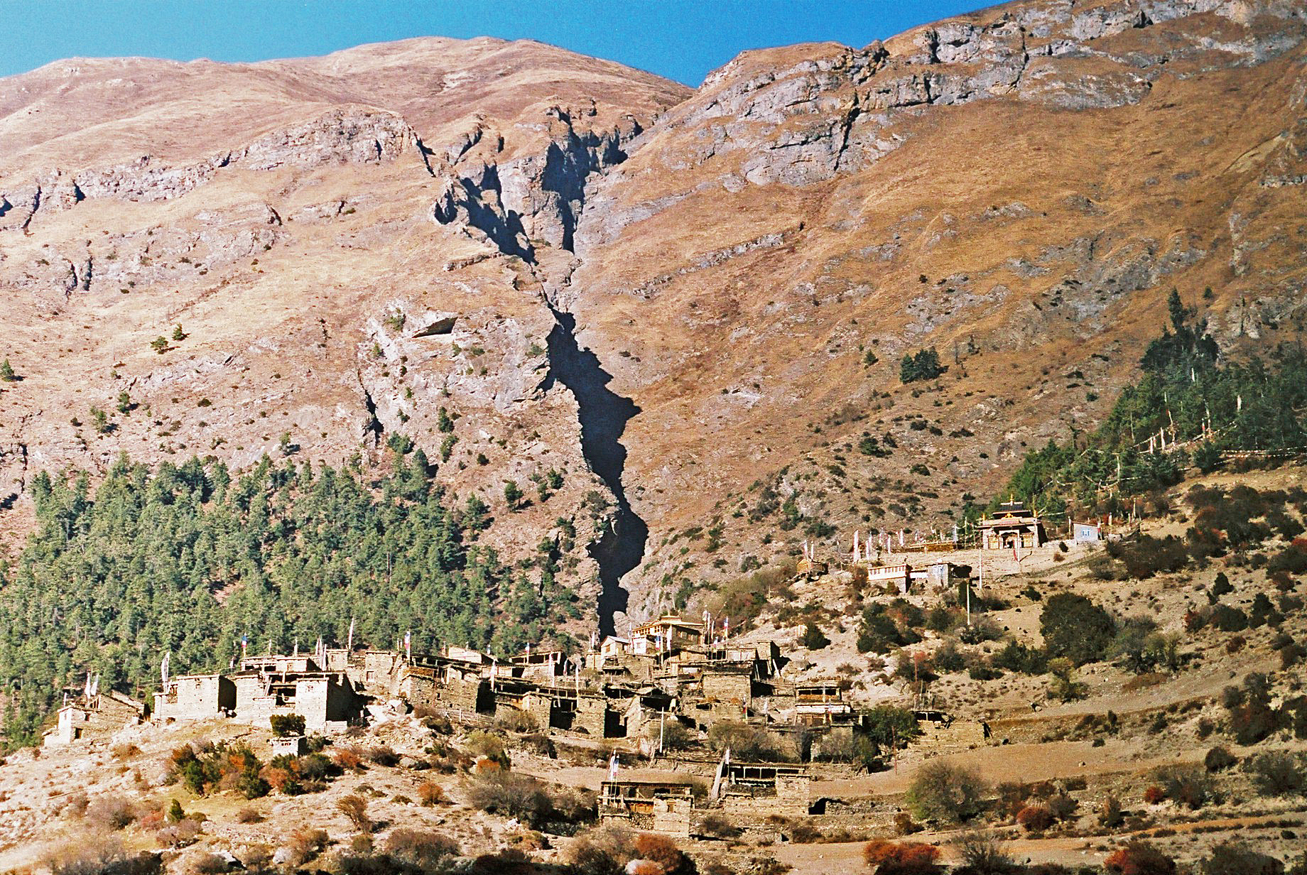
is a climbing hut high above. It looks like a rock. (It is a rock.) The place
is overlooked by the huge face of Paungda Danda - a sheet of curving rock scraped
clean of vegetation and towering more than 1500 metres above the
Lunch is fried
luncheon meat, vegetables fried in butter, chips, vegetable chapattis, followed
by fresh pineapple. It was excellent. We sat in the sun (not on the blue
tarpaulin) until 1:55, making it our longest lunch break yet.

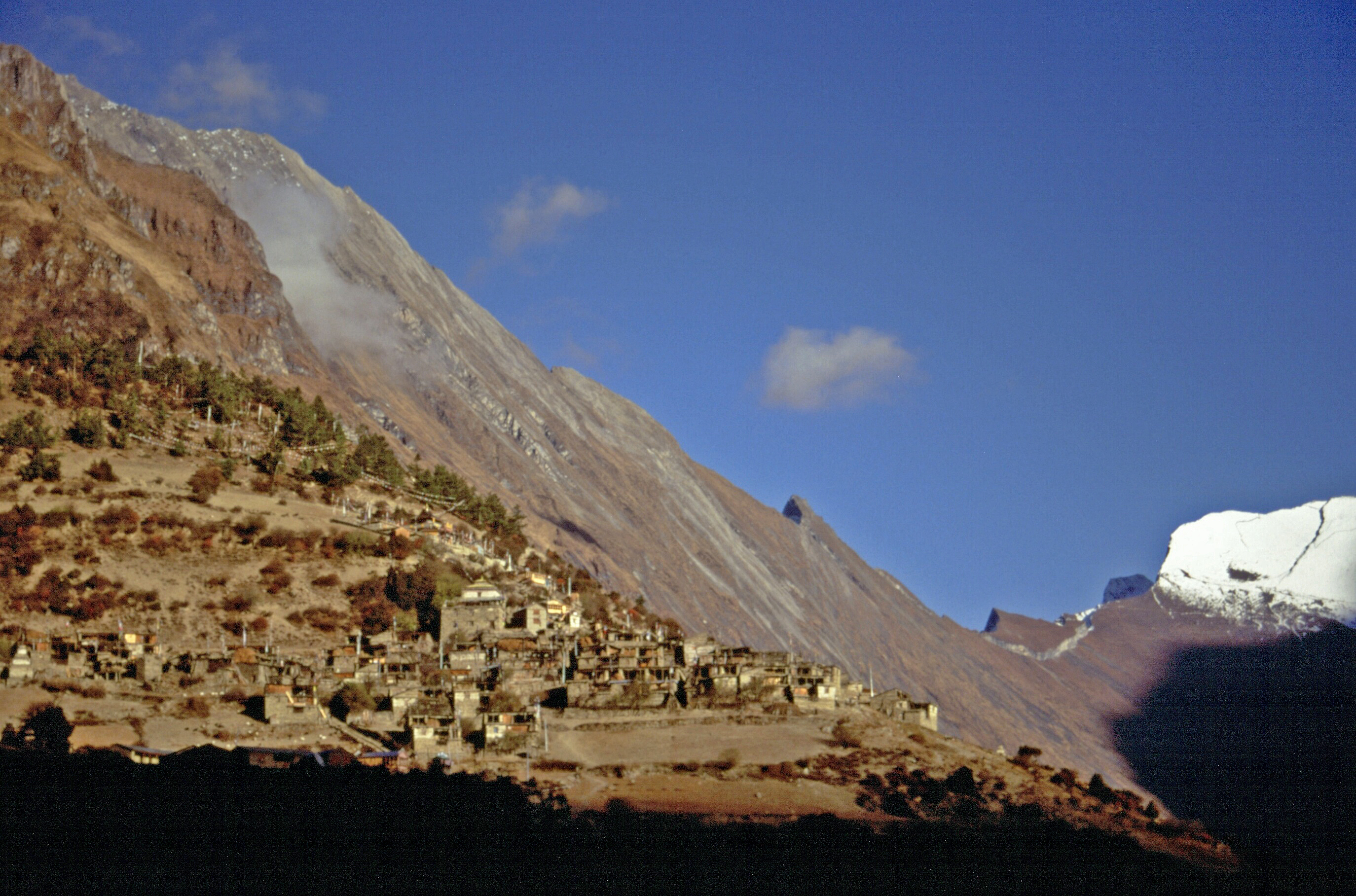
Very pleasant. Then
a 2-hour stroll up to our camp at Lower Pisang (3185 metres) via pine forests
as far as a place called Dhukurpokhari, with a couple of tea shops, then down
to and along an arid area to the left of a tarn, with stunted pine trees.


Camp is on dusty earth, which the team are watering to make it more acceptable. Up at Dhukurpokhari we had a first view of Chulu West, and Annapurna II was prominent, high above to the left.
Towards Pisang,


5 pm: hot washing
water.
5:30: tea and
biscuits
6:30: chicken soup
and huge excellent croutons; spaghetti and tuna with egg on top; potato cake;
lady's fingers; aubergine fritters; buffalo and vegetables - fried.
Then a chat with Sanjeev before another round of Uno - Mark won. Bedtime as usual at 9 pm. A cool evening - we all (except Mark) wore our down jackets tonight, and Sue and my Canadian boots were great for keeping our feet warm.
Altimeter notes:
Andrew and I have decided to rely on the 10-minute reading interval as the
1-minute interval may give rise to movements during our long stops due to 'hunting',
with the meter frequently changing up and down 5 metres while we are stationary.
So we now think the following is a best estimate of our journey to date:
|
|
4 Nov |
5 Nov |
6 Nov |
7 Nov |
|
Start (m) |
800 |
1105 |
1705 |
2610 |
|
Ascent (m) |
545 |
785 |
1050 |
710 |
|
Descent (m) |
-240 |
-185 |
-145 |
-115 |
|
Finish (m) |
1105 |
1705 |
2610 |
3205 |
|
Time (hrs) |
8.00 |
7.75 |
9.00 |
8.25 |
|
Stops (hrs) |
2.50 |
2.50 |
1.50 |
2.75 |
|
Walking Time (hrs) |
5.50 |
5.25 |
7.50 |
5.50 |
No comments:
Post a Comment