Sue and Martin in Mallorca 2019

Sue and Martin in Mallorca 2019
On the Archduke's Path in Mallorca

Tuesday, 21 September 2021

Tuesday 21 September 2021 - Ceunant Cynfal and Rhaeadr y Cwm


Today's walk was a combination of two of Alex's routes, one of which Sue and I walked in 2018, long before his books were published. 

Free parking outside the Pengwern pub in Llan Ffestiniog, and a wander around the church yard, then we found our way down past tormentil with splashes of eyebright, to the woodland path above the Ceunant Cynfal gorge.


There are lots of mushrooms and fungi in the woods just now, not that we identified anything edible.


After crossing the river at Pont Tal-y-bont, our left turn to Nurse Gellidywyll, was adorned with a discouraging sign.


Our experience of such signs has led to our ignoring them unless there's the noise of machinery ahead. The signs are put up and not taken down. Clearly the path had been closed in order for the devastation of a section of woodland to take place.


Tits of several varieties gorged on something in the trees, and the Moelwyns came into view. It seems that the dam at Llyn Stwlan is undergoing some sort of renovation.


Beyond the rogue sign and the forest devastation, the pretty woodland walk above the Cynfal gorge continued, during which we saw another couple of walkers, the only ones seen today.

The Afon Cynfal makes its way through the pretty gorge, offering numerous photo opportunities. 


The Snowdonia Slate Trail seems to crop up everywhere. 


Encountering a railway viaduct in such places is always a surprise to me. Below, a dipper traversed the waterway.


That was after we'd left Walk 1 and were heading towards the route of Walk 2. The gorge is littered with waterfalls and is bordered by forest, through which the sun was trying to penetrate.


Before joining Walk 2 near Bryn Mawr, we found a good spot for elevenses, under the watchful eye of a couple of fighter planes that seemed to be practicing dogfights.

Then we moved pleasantly past some miniature horses at Cwm Farm, allegedly dating from 1492, before rising above Afon Cynfal to a fine viewpoint across to the Rhaeadr y Cwm waterfall.

We found a great spot for lunch, and noted that we'd arrived too early for a good photo of the waterfall, which was still in shade. Buzzards and crows competed for airspace.


There were fine views down the gorge towards the coast.


Near the top of the waterfalls the scenery changes to upland moorland. A narrow path led past discarded machinery to a high reservoir, Llyn Morwynion, where a couple of anglers - one intensely fishing, the other snoozing by the boathouse - were enjoying their preferred form of recreation.


Our descent back to the Cynfal gorge was largely along grassy paths, though beyond an empty pair of discarded trousers a walled section before the farm at Bryn Mawr was neither welcoming (we had to climb over locked gates) nor dry (the path having taken on the characteristics of a river bed).


There are still quite a few plants in flower in addition to those already mentioned, as well as sweet tasting blackberries:
Red campion
Herb Robert 
Gorse
Stitchwort 
Harebells
Rosebay Willowherb 
Red clover

We continued along paths bordered by fading bracken.


Beyond Bryn Mawr, a rather more friendly sight... Bill and Ben.


Then we were back in the gorge, soon pausing above some waterfalls to drain the last drops of tea from our flask.


Before long we crossed a footbridge to return to the route of Walk 1, and an easy stroll back to the car, via a viewpoint of the Rhaeadr Cynfal waterfall.


A little way upstream from the waterfall is a distinctive rock pillar, Huw Llwyd's pulpit, on which in the 16th century Huw is said to have sat and preached, maintaining the dual roles of clergyman and wizard!

Here's our route - 16km with about 500 metres ascent, taking us five and a half hours. A fine day out in lovely weather.


Monday, 20 September 2021

Monday 20 September 2021 - Cwm Croesor and Cnicht


Cwm Croesor, walk 23 in Alex Kendall's 'Snowdonia North' book, was today's choice. His low level route contours between Llyn Cwm-y-foel and Bwlch y Rhosydd, but Sue and I couldn't resist the temptation of Cnicht, so we went up there from Llyn Cwm-y-foel and contoured back on a higher path, via Llyn Yr Adar, from which a view towards Snowdon is pictured above.

 It's a short drive (7 miles) to the car park at Croesor, from where a new wooden bridge pointed us on our way up the valley.


We'd not been this way before, having habitually taken the western ridge route up Cnicht. The path up Cwm Croesor was excellent, presumably following an old mine working track, passing fields bordered with slate fences.


Soon we left the track and ascended a grassy path, rising above a lone building - the hydroelectric power station at Canolfan Blaencwm. Steep bits were rare, but there was a short thrutch after a couple of path signs that were situated, rather confusingly, just before a fork in the path. Luckily, Alex provided guidance in support of our intuition - 'go up'!


On reaching the dam at Llyn Cwm-y-foel, we enjoyed some elevenses, watched a grey wagtail, and tried to ignore two helicopters, one of which had flown noisily up the valley at least seven times. We then headed up over easy ground, albeit fairly steep in places, to the ridge of Cnicht.

On this ascent  we were studied for quite some time by a lone sheep, apparently chewing her cud whilst sitting on a warm rock and admiring the view. 


Once the ridge was gained, we were treated to some wonderful views of Snowdonia, and right down the Lleyn peninsular on this fine, clear, warm day. Here's the view past Cnicht's summit to Porthmadog and beyond.


There were people up here. We don't encounter many of those on these walks. We chatted for a while, then headed along the ridge for lunch in the sunshine, with views across Llyn Yr Adar to the Snowdon massif.


Two trial bikes muscled their way along the Cnicht ridge. That shouldn't be allowed. 

It's a lovely path back to rejoin Alex's route near Bwlch y Rhosydd. We passed some locals who told us of the dangers of mountain biking and waterfall viewing in the Plas y Coed area that we visited yesterday. We also swapped some viewing notes:
African pigmy goose (seen by birdwatchers at Llyn Bach)
Buzzard, Kestrel, Grey Wagtails
Tormentil, Bell Heather, Ling, Bog asphodel

Our route took us near some derelict mine buildings and their associated infrastructure. 


We arrived at the track pictured above, which reminds me of the Archduke's Paths in Mallorca and elsewhere, and we soon found the well signed path back to Croesor.


This is a lovely belvedere route past spoil heaps and inclines - an easy (and sociable) 3 km or so back to the car park.


Here's our 13 km route with maybe 700 metres ascent. It took us a little over five hours. If you can click on the image to expand it, you might spot the light blue line that denotes Alex's 8 km outing.


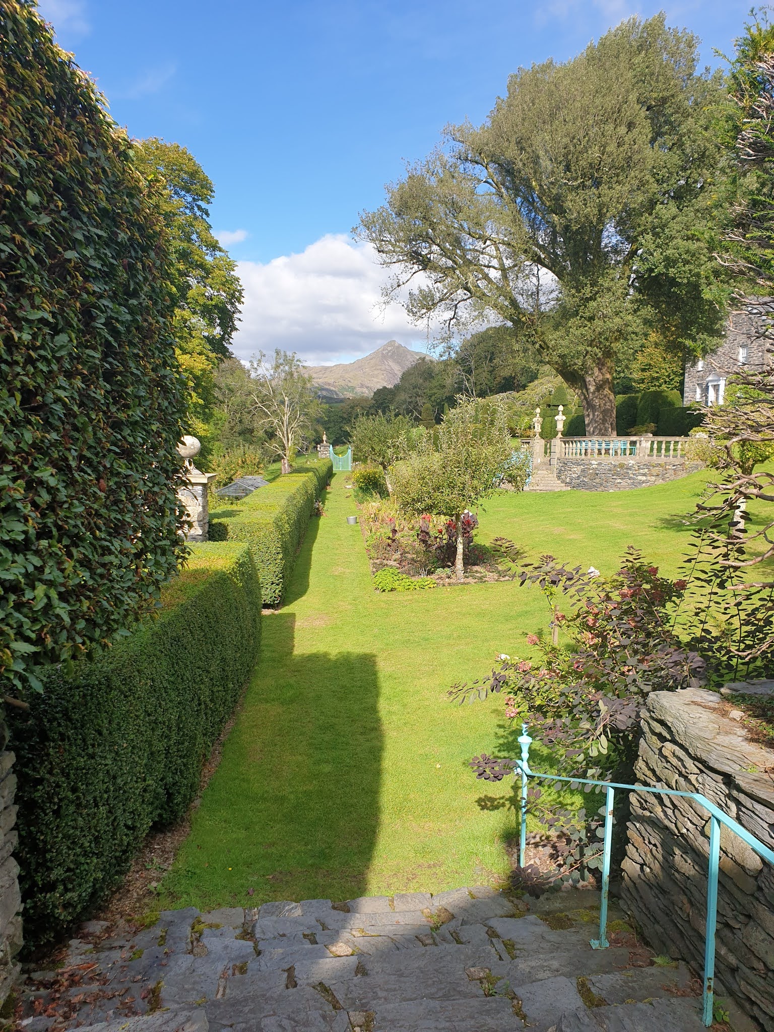
We were down by soon after 3pm, so had plenty of time to visit Plas Brondanw Gardens on the way home. The following snaps may not quite capture "the strong architectural influences of Renaissance Italy that are evident throughout the gardens: stone walls, topiary, pools, fountains, and avenues of trees".


Sunday, 19 September 2021

Sunday 19 September 2021 - Pistyll Cain


For our second walk of the day, after a picnic lunch at the NT car park, we headed a short way up a single track road to Tyddyn Gwladys car park. 

We walked up the track shown above, and quickly realised that this area of forest provides extensive mountain bike routes similar to those in Grizedale Forest in the Lake District. The main hub for mountain biking is nearby Coed y Brenin - a treat in store! 

We came across a couple of mountain bikers when we reached a bridge, once over which there is an out and back path to view the 20 metre high waterfall at Pistyll Cain. The narrow path beside a steep drop was taped off (health & safety?) but we went under the tape and got a fine view of the waterfall.


We soon passed a small hydroelectric works, where there's another impressive waterfall, Rhaeadr Mawddach. Sue took pictures of that, whilst I just snapped the river canyon.


Returning along the track on the eastern bank of the river, we discovered that the stepping stones that provide access back to the car park were under water, so we went down river to a bridge from which the next two pictures were taken.


An easy walk back to the car park concluded this 4km stroll, after which we returned to base for a chat on the deck with my brother Dave, before he returned home.


Sunday 19 September 2021 - Black Falls


We drove to Ganllwyd in rain that stopped as we opened the car doors in the National Trust car park. The one short shower that caught us on our 7km walk was negated by way of a tea break under a large tree.

Our first encounter of the day was with the picturesque Black Falls, part of which are pictured above.

We then followed pleasant woodland paths. My new Adidas hat, a replacement for my lost Nike cap, was duly recorded on its first outing.


Much of the woodland we passed through is now conifer plantations, though some of the original oak trees, whose wood was used for housing and shipbuilding, still remain.


After a while we left the forest and the views opened out.


We passed friendly signs.


And not so friendly signs.


After a section of path that would have been nicer if it wasn't used by trial bikes, we came across the ruins of a gold mine, Cefn Coch. Apparently Welsh gold is used in royal wedding rings - albeit making up just 1% of the ring.


Turning back towards Ganllwyd, we enjoyed more fine views before descending into the woods and meeting our first people of the day.


Here's our route, starting from the car park on the far right. Nearly 7km, with 250 metres ascent, taking a couple of hours or so. A very pleasant outing.